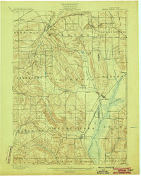
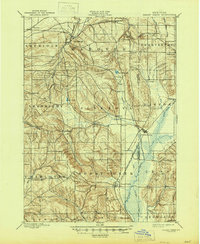
1900 Map of Cherry Creek
USGS Topo · Published 1903About this map
Sheridan and Forestville anchor the northern landscape of this region during the turn of the century, where the transition from Lake Erie's coastal plains into the rolling uplands of the Chautauqua Co and Cattaraugus Co border is clearly defined. The Erie RR and its Allegheny Division facilitate trade through the hills, connecting stops like Smiths Mills Sta. and South Dayton. A complex network of waterways, including Silver Creek and the Villanova Branch, carves through the terrain, while significant wetlands such as Mud Lake and East Mud Lake dot the valleys.
Find a feature on this map
55 named features on this map. Tap any name to fly to it.
Don’t see what you’re looking for? This feature index may not catch every label — zoom into the map to look around manually.
Map Details
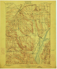
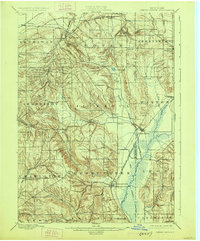
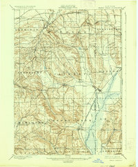
Editions of this 1900 Cherry Creek Map
6 editions found
Other maps of this area

1899 · Silver Creek
USGS Topo · 1:62,500

1900 · Dunkirk
USGS Topo · 1:62,500

1900 · Cherry Creek
USGS Topo · 1:62,500

1904 · Chautaqua
USGS Topo · 1:62,500

1905 · Jamestown
USGS Topo · 1:62,500

1905 · Eden
USGS Topo · 1:62,500

1907 · Eden
USGS Topo · 1:62,500

1922 · Randolph
USGS Topo · 1:62,500

1923 · Randolph
USGS Topo · 1:62,500

1923 · Cattaraugus
USGS Topo · 1:62,500