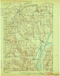
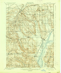
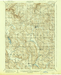
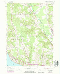
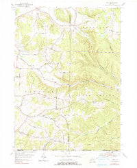
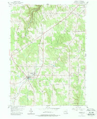
1900 Map of Cherry Creek
USGS Topo · Published 1900This historical map portrays the area of Cherry Creek in 1900, primarily covering Chautauqua County as well as portions of Cattaraugus County. Featuring a scale of 1:62500, this map provides a highly detailed snapshot of the terrain, roads, buildings, counties, and historical landmarks in the Cherry Creek region at the time. Published in 1900, it is one of 6 known editions of this map due to revisions or reprints.
Find a feature on this map
51 named features on this map. Tap any name to fly to it.
Don’t see what you’re looking for? This feature index may not catch every label — zoom into the map to look around manually.
Map Details
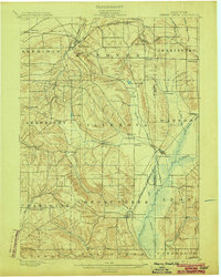
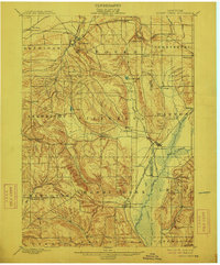
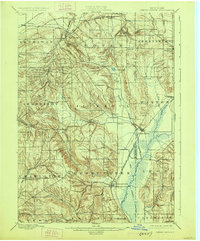
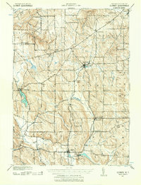
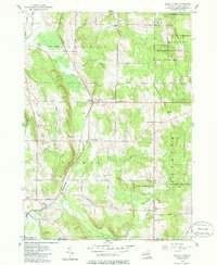
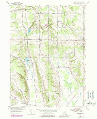
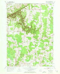
Editions of this 1900 Cherry Creek Map
6 editions found
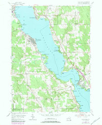
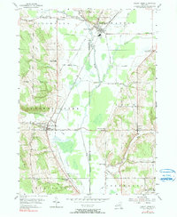
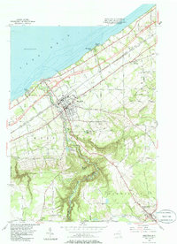
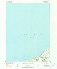
Historical Maps of Bates Through Time
23 maps found
1899 Westfield
Chautauqua County, NY
1900 Cherry Creek
Chautauqua County, NY
1904 Chautauqua
Chautauqua County, NY
1905 Clymer
Chautauqua County, NY
1939 Clymer
Chautauqua County, NY

1941 Chautauqua
Chautauqua County, NY

1941 Cherry Creek
Chautauqua County, NY

1941 Clymer
Chautauqua County, NY
1954 Chautauqua
Chautauqua County, NY
1954 Cherry Creek
Chautauqua County, NY

1954 Clymer
Chautauqua County, NY
1954 Ellery Center
Chautauqua County, NY
1954 Gerry
Chautauqua County, NY
1954 Hamlet
Chautauqua County, NY
1954 Hartfield
Chautauqua County, NY
1954 Ivory
Chautauqua County, NY
1954 North Clymer
Chautauqua County, NY
1954 Perrysburg
Chautauqua County, NY
1954 Ripley
Chautauqua County, NY
1954 Sherman
Chautauqua County, NY
1954 South Ripley
Chautauqua County, NY
1954 Westfield
Chautauqua County, NY
1955 North Of Dunkirk
Chautauqua County, NY