
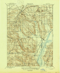
1900 Map of Cherry Creek
USGS Topo · Published 1900About this map
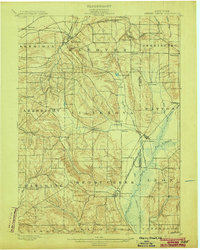
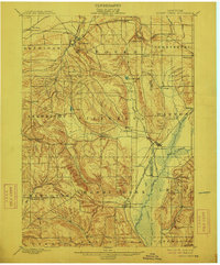
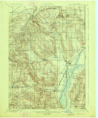
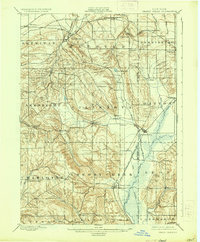
The Chautauqua and Cattaraugus county borderlands at the close of the nineteenth century are defined by a landscape of glacial lakes and emerging rail infrastructure. The Erie R. R. Allegheny Division and the Buffalo and Southwestern Branch cut through the terrain, anchoring settlements like Forestville, South Dayton, and Perrysburg. The drainage patterns of the Conewango Valley are clearly visible, including a prominent Drainage Ditch designed to manage the wetlands near Cherry Creek and Leon. These water systems, alongside East Mud Lake and Mud Lake, illustrate the complex hydrology that influenced early agricultural development and town placement. Smaller hamlets such as Charlotte Center, Nashville, and Hamlet dot the township lines of Arkwright and Villenova, offering a detailed view of the rural crossroads and local stations like Smiths Mills Sta. that supported this regional economy.
Find a feature on this map
51 named features on this map. Tap any name to fly to it.
Don’t see what you’re looking for? This feature index may not catch every label — zoom into the map to look around manually.
Map Details
Editions of this 1900 Cherry Creek Map
6 editions found
Other maps of this area

1899 · Silver Creek
USGS Topo · 1:62,500

1900 · Dunkirk
USGS Topo · 1:62,500

1904 · Chautaqua
USGS Topo · 1:62,500

1905 · Jamestown
USGS Topo · 1:62,500

1905 · Eden
USGS Topo · 1:62,500

1907 · Eden
USGS Topo · 1:62,500

1922 · Randolph
USGS Topo · 1:62,500

1923 · Randolph
USGS Topo · 1:62,500

1923 · Cattaraugus
USGS Topo · 1:62,500

1938 · Cattaraugus
USGS Topo · 1:62,500