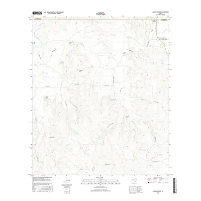
2016 Map of Cherry Spring
USGS Topo · Published 2016About this map
The small community of Cherry Spring serves as a focal point in this portion of the Texas Hill Country, situated where 87 meets Cherry Spring Rd. The landscape is defined by the high, dissected plateaus of the Edwards Plateau, featuring prominent landmarks such as Lehmann Mtn, Mund Hill, and several distinct points including Brockmann Point and Indian Point. This area is characterized by its numerous family-named cemeteries, which offer valuable insights for genealogists studying the early German-Texan settlement patterns of the region.
Find a feature on this map
47 named features on this map. Tap any name to fly to it.
Don’t see what you’re looking for? This feature index may not catch every label — zoom into the map to look around manually.
Map Details
Editions of this 2016 Cherry Spring Map
This is the sole edition of this map. No revisions or reprints were ever made.
Other maps of this area

1887 · Llano
USGS Topo · 1:125,000

1887 · Mason
USGS Topo · 1:125,000

1894 · Mason
USGS Topo · 1:125,000

1894 · Fredericksburg
USGS Topo · 1:125,000

1894 · Kerrville
USGS Topo · 1:125,000

1894 · Llano
USGS Topo · 1:125,000

1904 · Llano
USGS Topo · 1:125,000

1909 · Llano
USGS Topo · 1:125,000

1918 · Llano
USGS Topo · 1:125,000

1954 · Llano
USGS Topo · 1:250,000