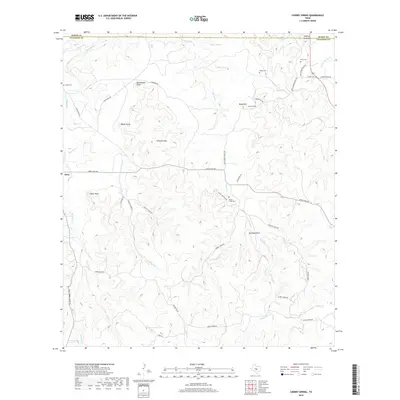
2019 Map of Cherry Spring
USGS Topo · Published 2019About this map
Doss sits at a crossroads in the western portion of this Central Texas landscape, where the rolling terrain of Gillespie County meets the Mason County line. The area is defined by a dense network of watercourses, including Squaw Cr, Dry Mormon Cr, and Cedar Cr, which have shaped the settlement and agricultural patterns of the region. Local genealogy is well-documented through several family-named burial sites such as Mund Cem, Welge Cem, and Squaw Creek Cem, often located near the winding ranch roads that follow the natural contours of the land. High points like Lehmann Mtn and Brockmann Point provide prominent landmarks overlooking a territory deeply tied to its rural ranching heritage, as evidenced by the numerous specialized routes like Doss-Cherry Spring RD and Pecan Creek Rd that connect scattered homesteads and pastures.
Find a feature on this map
45 named features on this map. Tap any name to fly to it.
Don’t see what you’re looking for? This feature index may not catch every label — zoom into the map to look around manually.
Map Details
Editions of this 2019 Cherry Spring Map
This is the sole edition of this map. No revisions or reprints were ever made.
Other maps of this area

1887 · Llano
USGS Topo · 1:125,000

1887 · Mason
USGS Topo · 1:125,000

1894 · Mason
USGS Topo · 1:125,000

1894 · Fredericksburg
USGS Topo · 1:125,000

1894 · Kerrville
USGS Topo · 1:125,000

1894 · Llano
USGS Topo · 1:125,000

1904 · Llano
USGS Topo · 1:125,000

1909 · Llano
USGS Topo · 1:125,000

1918 · Llano
USGS Topo · 1:125,000

1954 · Llano
USGS Topo · 1:250,000