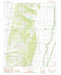
1984 Map of Cherry Valley East
USGS Topo · Published 1985About this map
Crowleys Ridge dominates the central landscape of this 1980s survey, creating a distinct topographical divide between the forested elevations and the engineered drainage basins of the Arkansas Delta. The transition from the ridge's complex ravine system to the flatlands is marked by the presence of Coldwater Spring and the headwaters of numerous small streams like Foust Creek and Sugar Creek.
Find a feature on this map
27 named features on this map. Tap any name to fly to it.
Don’t see what you’re looking for? This feature index may not catch every label — zoom into the map to look around manually.
Map Details
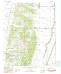
Editions of this 1984 Cherry Valley East Map
2 editions found
Other maps of this area

1939 · Vanndale
USGS Topo · 1:62,500

1939 · Weiner
USGS Topo · 1:62,500

1940 · Princedale
USGS Topo · 1:62,500

1940 · Dee
USGS Topo · 1:62,500

1953 · Memphis
USGS Topo · 1:250,000

1956 · Memphis
USGS Topo · 1:250,000

1956 · Princedale
USGS Topo · 1:62,500

1958 · Dee
USGS Topo · 1:62,500

1958 · Vanndale
USGS Topo · 1:62,500

1959 · Weiner
USGS Topo · 1:62,500