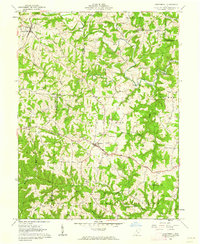
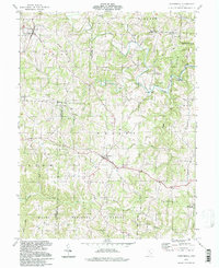
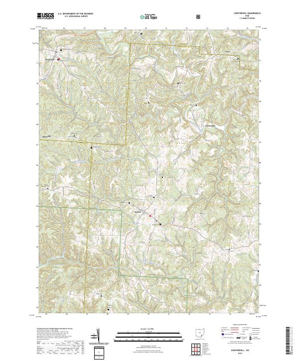
1961 Map of Chesterhill
USGS Topo · Published 1962About this map
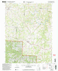
The hills of Morgan, Washington, and Athens Counties are deeply etched by the West Branch Wolf Creek and its many tributaries, such as Shrader Run and Coal Run. The village of Chesterhill stands as a primary hub in the north, while Bartlett anchors the central region. This 1961 field check captures a landscape defined by small rural congregations and their associated burial grounds, including the Bethel Ridge Ch, Wesleyan Ch, and Quaker Cem.
Find a feature on this map
44 named features on this map. Tap any name to fly to it.
Don’t see what you’re looking for? This feature index may not catch every label — zoom into the map to look around manually.
Map Details
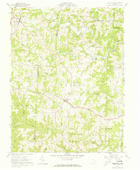
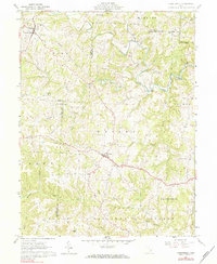
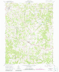
Editions of this 1961 Chesterhill Map
4 editions found
Historical Maps of Chesterhill Through Time
10 maps found

1904 Chesterhill
Morgan County, OH

1906 Chesterhill
Morgan County, OH
1961 Chesterhill
Morgan County, OH
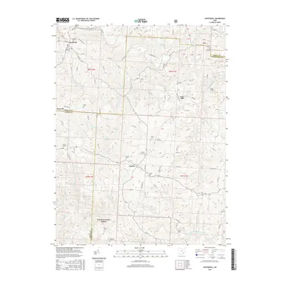
1994 Chesterhill
Morgan County, OH
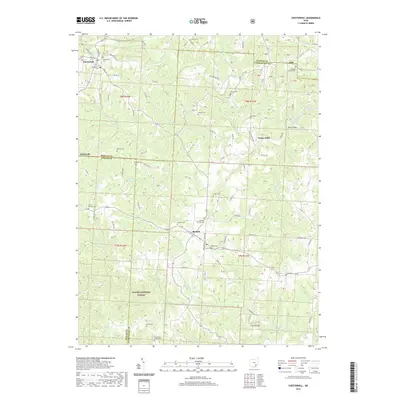
2002 Chesterhill
Morgan County, OH
2011 Chesterhill
Morgan County, OH
2013 Chesterhill
Morgan County, OH
2016 Chesterhill
Morgan County, OH
2019 Chesterhill
Morgan County, OH
2023 Chesterhill
Morgan County, OH