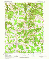
1963 Map of Chesterland
USGS Topo · Published 1964About this map
Holden Arboretum and Chapin State Forest dominate the northern landscape of this Geauga and Lake County transition, where the glacial topography creates a series of unique water features like Corning Lake and Hourglass Pond. The map documents a mid-century period of suburban expansion into the Western Reserve, centered around settlements like Chesterland and Kirtland. Cultural and educational institutions are prominent, including the Sisters of Notre Dame Educational Center and the St Anselm Sch.
Find a feature on this map
48 named features on this map. Tap any name to fly to it.
Don’t see what you’re looking for? This feature index may not catch every label — zoom into the map to look around manually.
Map Details
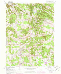
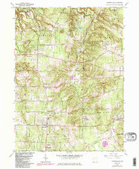
Editions of this 1963 Chesterland Map
3 editions found
Other maps of this area

1904 · Chardon
USGS Topo · 1:62,500

1905 · Garrettsville
USGS Topo · 1:62,500

1905 · Mentor
USGS Topo · 1:62,500

1906 · Chardon
USGS Topo · 1:62,500

1906 · Chagrin Falls
USGS Topo · 1:62,500

1907 · Garrettsville
USGS Topo · 1:62,500

1907 · Mentor
USGS Topo · 1:62,500

1908 · Chagrin Falls
USGS Topo · 1:62,500

1950 · Cleveland
USGS Topo · 1:250,000

1953 · Chardon
USGS Topo · 1:24,000