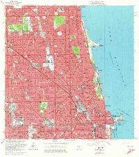
1963 Map of Chicago Loop
USGS Topo · Published 1973About this map
Lake Michigan defines the eastern boundary of this mid-century urban landscape, where the dense grid of Chicago meets the waterfront. This era shows the city's complex medical and educational infrastructure at its peak, featuring landmarks like the Northwestern University Medical School and De Paul University. The map documents the heavy industrial and logistical importance of the waterways, from the Turning Basin to the Ogden Slip near the mouth of the Chicago River.
Find a feature on this map
96 named features on this map. Tap any name to fly to it.
Don’t see what you’re looking for? This feature index may not catch every label — zoom into the map to look around manually.
Map Details
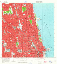
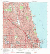
Editions of this 1963 Chicago Loop Map
3 editions found
Other maps of this area

1889 · Chicago
USGS Topo · 1:62,500

1891 · Chicago
USGS Topo · 1:62,500

1891 · Riverside
USGS Topo · 1:62,500

1893 · Riverside
USGS Topo · 1:62,500

1899 · Evanston
USGS Topo · 1:62,500

1900 · Chicago
USGS Topo · 1:62,500

1900 · Riverside
USGS Topo · 1:62,500

1900 · Highwood
USGS Topo · 1:62,500

1901 · Riverside
USGS Topo · 1:62,500

1901 · Chicago
USGS Topo · 1:62,500
Featured Places
- Chicago, IL
- Lincolnwood, IL
- Lake View Township, Chicago
- West Chicago Township, Chicago
- Jefferson Township, Chicago