
1904 Map of Chickasha
USGS Topo · Published 1904About this map
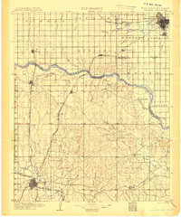
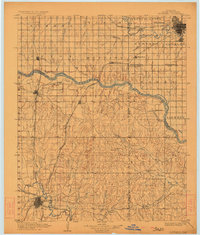
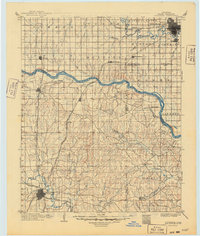
The Indian Territory Oklahoma Boundary Line bisects this landscape, illustrating the geopolitical fragmentation of the region prior to statehood. The city of Chickasha anchors the southwest corner as a significant rail hub, where the Chicago Rock Island and Pacific R. R. intersects several branch lines. This transport network facilitated the growth of rural settlements such as Minco, Pocasset, and Amber, which developed along the rail corridors feeding into the Washita River valley.
Find a feature on this map
59 named features on this map. Tap any name to fly to it.
Don’t see what you’re looking for? This feature index may not catch every label — zoom into the map to look around manually.
Map Details
Editions of this 1904 Chickasha Map
4 editions found
Other maps of this area

1892 · Moore
USGS Topo · 1:62,500

1892 · Edmond
USGS Topo · 1:62,500

1892 · Kingfisher
USGS Topo · 1:125,000

1893 · Norman
USGS Topo · 1:62,500

1893 · Fort Reno
USGS Topo · 1:62,500

1893 · Oklahoma City
USGS Topo · 1:62,500

1893 · Buggy Creek
USGS Topo · 1:62,500

1893 · Minco
USGS Topo · 1:62,500

1895 · Kingfisher
USGS Topo · 1:125,000

1898 · Purcell
USGS Topo · 1:125,000