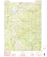
1986 Map of Chicken Hawk Hill
USGS Topo · Published 1986About this map
Sacramento River drainage patterns dominate this mid-1980s provisional study, where the waterway carves through the convergence of the Shasta National Forest and Trinity National Forest. The settlement at Gibson serves as a small point of human activity near the riverbank, situated just south of where Shiloah Mineral Springs is noted. High-altitude hydrology is a primary feature of the landscape, marked by several mountain basins holding Twin Lakes, Tamarack Lake, and Grey Rock Lake. A network of unimproved roads and four-wheel-drive trails provides access to numerous mineral prospects and gravel pits scattered across the ridges. Notable terrain landmarks like Chicken Hawk Hill and Rattlesnake Hill rise between the drainages of Slate Creek and Mears Creek, while a Foot Bridge near the river indicates the local infrastructure of the era.
Find a feature on this map
32 named features on this map. Tap any name to fly to it.
Don’t see what you’re looking for? This feature index may not catch every label — zoom into the map to look around manually.
Map Details
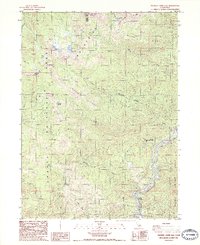
Editions of this 1986 Chicken Hawk Hill Map
2 editions found
Other maps of this area

1886 · Shasta
USGS Topo · 1:250,000

1890 · Red Bluff
USGS Topo · 1:250,000

1894 · Red Bluff
USGS Topo · 1:250,000

1894 · Shasta
USGS Topo · 1:250,000

1901 · Redding
USGS Topo · 1:125,000

1913 · Weaverville
USGS Topo · 1:125,000

1923 · Sawyers Bar
USGS Topo · 1:125,000

1931 · Etna
USGS Topo · 1:96,000

1934 · Etna
USGS Topo · 1:125,000

1935 · Dunsmuir
USGS Topo · 1:125,000