
1921 Map of Chicora
USGS Topo · Published 1921About this map
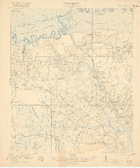
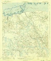
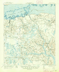
Santee River and the low-lying wetlands of Berkeley County define this landscape just after the turn of the century. The map documents a complex network of swamps and bays, such as Bulltown Bay and Wassamassaw Swamp, long before the creation of Lake Moultrie. Scattered across the higher ground are numerous rural institutions that served this farming and logging community, including Greenland Church, Hickory Hill School, and the Oakland Club.
Find a feature on this map
90 named features on this map. Tap any name to fly to it.
Don’t see what you’re looking for? This feature index may not catch every label — zoom into the map to look around manually.
Map Details
Editions of this 1921 Chicora Map
4 editions found
Other maps of this area

1919 · Summerville
USGS Topo · 1:48,000

1919 · Ridgeville
USGS Topo · 1:48,000

1919 · Cordesville
USGS Topo · 1:48,000

1920 · Eutawville
USGS Topo · 1:48,000

1920 · Chicora
USGS Topo · 1:48,000

1920 · Manning
USGS Topo · 1:48,000

1920 · Ridgeville
USGS Topo · 1:62,500

1920 · Summerville
USGS Topo · 1:62,500

1921 · Manning
USGS Topo · 1:62,500

1921 · Eutawville
USGS Topo · 1:62,500