
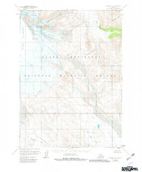
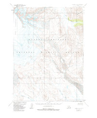
1963 Map of Chignik A-4
USGS Topo · Published 1967About this map
Mount Veniaminof dominates the western edge of this 1963 survey, serving as the massive source for a system of ice flows that define the upper landscape. The radial drainage pattern is evident as Harpoon Glacier, Finger Glacier, and the elongated Slim Glacier carve through the high elevations, while Crab Glacier sits further north. These glaciers feed into a network of lower-elevation watercourses, including the West Fork Chignik River and the southward-flowing Kametolook River.
Find a feature on this map
9 named features on this map. Tap any name to fly to it.
Don’t see what you’re looking for? This feature index may not catch every label — zoom into the map to look around manually.
Map Details
Editions of this 1963 Chignik A-4 Map
3 editions found
Other maps of this area

1951 · Stepovak Bay
USGS Topo · 1:250,000

1963 · Stepovak Bay D-4
USGS Topo · 1:63,360

1963 · Chignik B-5
USGS Topo · 1:63,360

1963 · Chignik B-4
USGS Topo · 1:63,360

1963 · Chignik A-5
USGS Topo · 1:63,360

1963 · Chignik A-3
USGS Topo · 1:63,360

1963 · Chignik B-3
USGS Topo · 1:63,360

1963 · Stepovak Bay D-5
USGS Topo · 1:63,360

1963 · Chignik
USGS Topo · 1:250,000
1963 · Stepovak Bay D-3
USGS Topo · 1:63,360