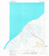
1963 Map of Chignik B-7
USGS Topo · Published 1967About this map
Cape Seniavin and Cape Kutuzof define this stretch of the Alaskan coastline, where the land meets the expansive waters of Bristol Bay. Surveyed using aerial photographs from the late 1950s and early 1960s, the map reveals a landscape dominated by marshy lowlands and a network of shifting waterways. The Muddy River winds through the interior, eventually feeding into the sea near an area of prominent Sand Dunes. While the region appears largely unsettled at this time, the inclusion of labels like Janie and Kutuzof indicates specific points of interest or navigation. This document is particularly valuable for its recording of the Seward Meridian land lines and hydrographic data, providing a specialized look at the natural state of the Aleutians East region before significant modern development.
Find a feature on this map
12 named features on this map. Tap any name to fly to it.
Don’t see what you’re looking for? This feature index may not catch every label — zoom into the map to look around manually.
Map Details
Editions of this 1963 Chignik B-7 Map
2 editions found
Other maps of this area

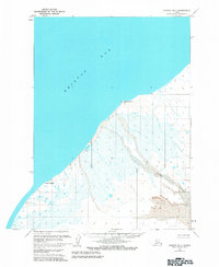
1963 · Chignik A-6
USGS Topo · 1:63,360

1963 · Chignik B-6
USGS Topo · 1:63,360
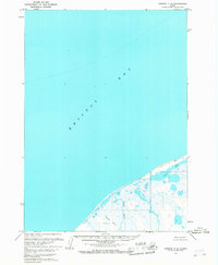
1963 · Chignik C-6
USGS Topo · 1:63,360

1963 · Chignik A-7
USGS Topo · 1:63,360

1963 · Chignik
USGS Topo · 1:250,000
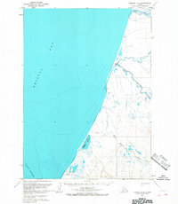
1963 · Chignik A-8
USGS Topo · 1:63,360
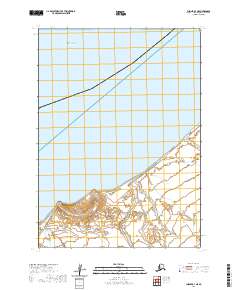
2020 · Chignik B-7 NE
USGS Topo · 1:25,000
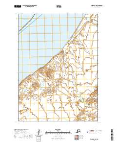
2020 · Chignik B-7 SW
USGS Topo · 1:25,000
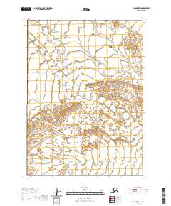
2020 · Chignik B-7 SE
USGS Topo · 1:25,000
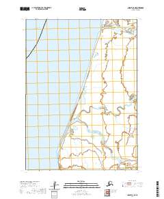
2020 · Chignik A-8 NE
USGS Topo · 1:25,000