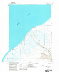
1963 Map of Chignik B-7
USGS Topo · Published 1983About this map
Cape Seniavin and Cape Kutuzof define this stretch of the Alaska Peninsula coastline, where the land meets the expansive waters of Bristol Bay. This 1963 field-annotated survey reveals a low-lying landscape dominated by coastal wetlands and intricate drainage patterns. The southeastern portion of the map is characterized by a significant area of Sand Dunes situated inland from the shoreline. The Muddy River winds through the lower terrain, illustrating the hydrologic connection between the peninsula's interior and the sea. This sheet serves as a record of a largely undeveloped wilderness during the mid-20th century, where land lines represent unsurveyed locations predetermined by the Bureau of Land Management under the Seward Meridian.
Find a feature on this map
10 named features on this map. Tap any name to fly to it.
Don’t see what you’re looking for? This feature index may not catch every label — zoom into the map to look around manually.
Map Details
Editions of this 1963 Chignik B-7 Map
2 editions found
Other maps of this area

1963 · Chignik A-6
USGS Topo · 1:63,360
1963 · Chignik B-7
USGS Topo · 1:63,360

1963 · Chignik B-6
USGS Topo · 1:63,360
1963 · Chignik C-6
USGS Topo · 1:63,360

1963 · Chignik A-7
USGS Topo · 1:63,360

1963 · Chignik
USGS Topo · 1:250,000
1963 · Chignik A-8
USGS Topo · 1:63,360
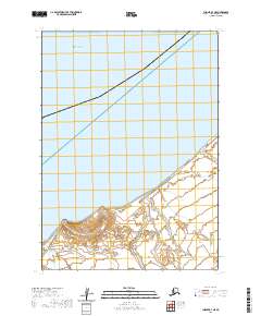
2020 · Chignik B-7 NE
USGS Topo · 1:25,000
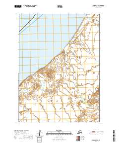
2020 · Chignik B-7 SW
USGS Topo · 1:25,000
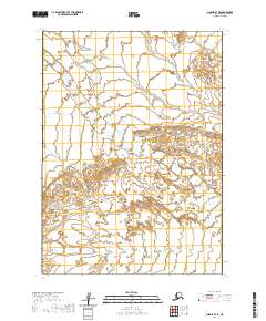
2020 · Chignik B-7 SE
USGS Topo · 1:25,000