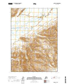
2020 Map of Chignik C-1 NE
USGS Topo · Published 2020About this map
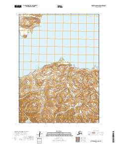
The Aniakchak National Preserve meets the northern reaches of the Alaska Peninsula National Wildlife Refuge in this 2020 study of the Lake and Peninsula Borough. The landscape is defined by its complex drainage systems, where the broad Meshik River collects a network of tributaries including Waterfall Cr, Rainbow Cr, and Shoe Cr. In the northern half of the map, the terrain appears relatively level as these streams meander toward the main river channel, while the southern portion transitions into more pronounced relief. This survey provides a modern snapshot of a protected Alaskan wilderness, documenting the exact courses of Wolf Cr, Rudy Cr, and Cub Cr as they flow through these federally managed lands. The lack of human infrastructure emphasizes the primitive character of the Alaska Peninsula, where only the natural waterways and township boundaries dictate the organization of the space.
Find a feature on this map
13 named features on this map. Tap any name to fly to it.
Don’t see what you’re looking for? This feature index may not catch every label — zoom into the map to look around manually.
Map Details
Editions of this 2020 Chignik C-1 NE Map
This is the sole edition of this map. No revisions or reprints were ever made.
Other maps of this area

1951 · Sutwik Island
USGS Topo · 1:250,000

1963 · Chignik C-1
USGS Topo · 1:63,360

1963 · Sutwik Island
USGS Topo · 1:250,000

1963 · Sutwik Island C-6
USGS Topo · 1:63,360

1963 · Chignik
USGS Topo · 1:250,000

1963 · Chignik D-1
USGS Topo · 1:63,360
1963 · Sutwik Island D-6
USGS Topo · 1:63,360
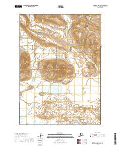
2019 · Sutwik Island D-6 SW
USGS Topo · 1:25,000
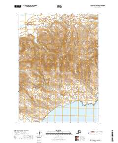
2019 · Sutwik Island C-6 NW
USGS Topo · 1:25,000
2019 · Sutwik Island C-6 SW
USGS Topo · 1:25,000