
1963 Map of Chignik C-4
USGS Topo · Published 1967About this map
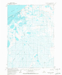
Bristol Bay dominates the northern reaches of this coastal landscape on the Alaska Peninsula, where the waters meet a complex network of Tidal Flats and the Seal Islands. The interior terrain is defined by the winding course of the Ungashik River, which draws from several smaller drainages including Fireweed Creek, Blueberry Creek, and Crater Creek.
Find a feature on this map
13 named features on this map. Tap any name to fly to it.
Don’t see what you’re looking for? This feature index may not catch every label — zoom into the map to look around manually.
Map Details
Editions of this 1963 Chignik C-4 Map
2 editions found
Other maps of this area

1963 · Chignik C-3
USGS Topo · 1:63,360

1963 · Chignik B-5
USGS Topo · 1:63,360

1963 · Chignik B-4
USGS Topo · 1:63,360
1963 · Chignik D-4
USGS Topo · 1:63,360

1963 · Chignik D-3
USGS Topo · 1:63,360

1963 · Chignik B-3
USGS Topo · 1:63,360

1963 · Chignik C-5
USGS Topo · 1:63,360

1963 · Chignik
USGS Topo · 1:250,000
2020 · Chignik B-5 NE
USGS Topo · 1:25,000
2020 · Chignik C-4 SW
USGS Topo · 1:25,000