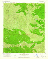
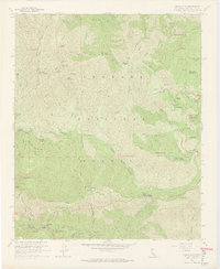
1959 Map of Chilao Flat
USGS Topo · Published 1960About this map
Monte Cristo Mine and a cluster of nearby workings including the Falcon Mine and Gold Bar Mine define the mid-century industrial footprint within these high reaches of the Angeles National Forest. The landscape is a network of canyons and peaks, with the Angeles Crest Highway (noted as Highway 2) providing the primary artery through the region. Small enclaves of private and public use are scattered throughout, from the remote Loomis Ranch with its small cemetery to established waypoints like Newcomb Ranch and Colby Ranch.
Find a feature on this map
62 named features on this map. Tap any name to fly to it.
Don’t see what you’re looking for? This feature index may not catch every label — zoom into the map to look around manually.
Map Details
Editions of this 1959 Chilao Flat Map
7 editions found
Other maps of this area

1894 · Los Angeles
USGS Topo · 1:62,500

1894 · Pomona
USGS Topo · 1:62,500

1896 · Pasadena
USGS Topo · 1:62,500

1897 · Pomona
USGS Topo · 1:62,500

1898 · Pomona
USGS Topo · 1:62,500

1900 · Pasadena
USGS Topo · 1:62,500

1900 · Tujunga
USGS Topo · 1:62,500

1900 · Los Angeles
USGS Topo · 1:62,500

1901 · Southern California Sheet No. 1
USGS Topo · 1:250,000

1903 · Rock Creek
USGS Topo · 1:62,500