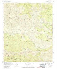
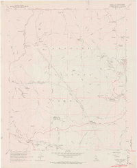
1959 Map of Chilao Flat
USGS Topo · Published 1986About this map
Monte Cristo Mine and several other prospecting sites like the Falcon Mine and Black Cargo Mine dot the high elevations of the Angeles National Forest in this late-1950s survey. The map records a landscape where recreation and resource extraction meet, shown by the proximity of the Mill Creek Picnic Grounds and numerous campgrounds to working cattle operations like the Loomis Ranch and Newcomb Ranch.
Find a feature on this map
70 named features on this map. Tap any name to fly to it.
Don’t see what you’re looking for? This feature index may not catch every label — zoom into the map to look around manually.
Map Details
Editions of this 1959 Chilao Flat Map
7 editions found
Other maps of this area

1894 · Los Angeles
USGS Topo · 1:62,500

1894 · Pomona
USGS Topo · 1:62,500

1896 · Pasadena
USGS Topo · 1:62,500

1897 · Pomona
USGS Topo · 1:62,500

1898 · Pomona
USGS Topo · 1:62,500

1900 · Pasadena
USGS Topo · 1:62,500

1900 · Tujunga
USGS Topo · 1:62,500

1900 · Los Angeles
USGS Topo · 1:62,500

1901 · Southern California Sheet No. 1
USGS Topo · 1:250,000

1903 · Rock Creek
USGS Topo · 1:62,500