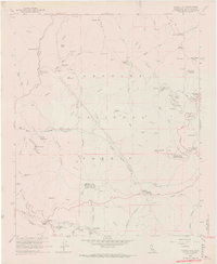
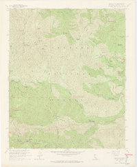
1959 Map of Chilao Flat
USGS Topo · Published 1970About this map
Mining and forestry operations define this mid-century view of the high country, where the Monte Cristo Mine and Falcon Mine sit amidst the steep drainage of the San Gabriel River. The landscape is a network of fire protection and recreation, evidenced by the Vetter Mountain Lookout and numerous facilities like the Chilao Station and Red Box Station. Large family-named holdings such as Loomis Ranch, which includes a private Cem, and Colby Ranch represent the historic settlement of these canyons before the expansion of the modern Angeles Crest Highway.
Find a feature on this map
82 named features on this map. Tap any name to fly to it.
Don’t see what you’re looking for? This feature index may not catch every label — zoom into the map to look around manually.
Map Details
Editions of this 1959 Chilao Flat Map
7 editions found
Other maps of this area

1894 · Los Angeles
USGS Topo · 1:62,500

1894 · Pomona
USGS Topo · 1:62,500

1896 · Pasadena
USGS Topo · 1:62,500

1897 · Pomona
USGS Topo · 1:62,500

1898 · Pomona
USGS Topo · 1:62,500

1900 · Pasadena
USGS Topo · 1:62,500

1900 · Tujunga
USGS Topo · 1:62,500

1900 · Los Angeles
USGS Topo · 1:62,500

1901 · Southern California Sheet No. 1
USGS Topo · 1:250,000

1903 · Rock Creek
USGS Topo · 1:62,500