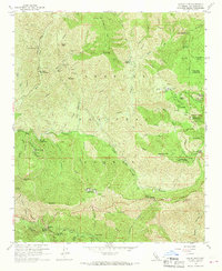
1959 Map of Chilao Flat
USGS Topo · Published 1970About this map
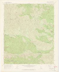
Monte Cristo Mine and several other gold and prospect sites punctuate the high-elevation terrain of the Angeles National Forest in this 1959 survey. The map records a landscape of isolated mountain holdings, such as Loomis Ranch and Newcomb Ranch, alongside mid-century recreation infrastructure including Chilao Campground and Horse Flats Campground. The Angeles Crest Highway winds through the topography, connecting remote service hubs like the State Highway Maintenance Sta and Red Box Station. Natural water systems, including the Upper Big Tujunga Canyon and its many feeder gulches like Wildcat Gulch, dominate the drainage patterns. A small Military Reservation at Barley Flats and a secluded Cem near the Loomis homestead provide specific points of interest for local historians and genealogists researching the high San Gabriels.
Find a feature on this map
70 named features on this map. Tap any name to fly to it.
Don’t see what you’re looking for? This feature index may not catch every label — zoom into the map to look around manually.
Map Details
Editions of this 1959 Chilao Flat Map
7 editions found
Other maps of this area

1894 · Los Angeles
USGS Topo · 1:62,500

1894 · Pomona
USGS Topo · 1:62,500

1896 · Pasadena
USGS Topo · 1:62,500

1897 · Pomona
USGS Topo · 1:62,500

1898 · Pomona
USGS Topo · 1:62,500

1900 · Pasadena
USGS Topo · 1:62,500

1900 · Tujunga
USGS Topo · 1:62,500

1900 · Los Angeles
USGS Topo · 1:62,500

1901 · Southern California Sheet No. 1
USGS Topo · 1:250,000

1903 · Rock Creek
USGS Topo · 1:62,500