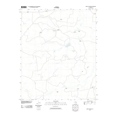
2010 Map of China Canyon
USGS Topo · Published 2010About this map
China Canyon and the surrounding drainage basins define this arid corner of Cottle County, where water management is the primary marker of human activity. The landscape is dominated by an intricate network of seasonal waterways, including Bluff Creek, Salt Creek, and the Tongue River. Named landmarks such as Thief Hollow and Spring Canyon suggest a terrain etched by erosion, while the presence of the Swenson Ranch indicates the region's enduring cattle ranching heritage.
Find a feature on this map
20 named features on this map. Tap any name to fly to it.
Don’t see what you’re looking for? This feature index may not catch every label — zoom into the map to look around manually.
Map Details
Editions of this 2010 China Canyon Map
This is the sole edition of this map. No revisions or reprints were ever made.
Other maps of this area

1954 · Lubbock
USGS Topo · 1:250,000

1954 · Plainview
USGS Topo · 1:250,000

1958 · Plainview
USGS Topo · 1:250,000

1966 · Ballard Camp
USGS Topo · 1:24,000

1966 · Tee Pee City
USGS Topo · 1:24,000

1966 · Devils Canyon
USGS Topo · 1:24,000

1968 · Buffalo Creek
USGS Topo · 1:24,000

1968 · Russellville
USGS Topo · 1:24,000

1968 · Grow NW
USGS Topo · 1:24,000

1968 · Dumont
USGS Topo · 1:24,000