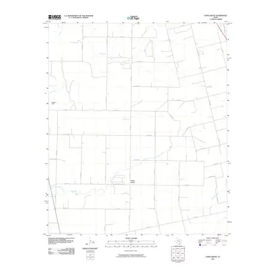
2010 Map of China Grove
USGS Topo · Published 2010About this map
China Grove serves as the focal point of this Scurry County landscape, situated amidst a grid of rural county roads and intermittent waterways. The terrain is defined by the winding paths of Sulphur Creek and Little Sulphur Creek, which traverse the central and southern portions of the quadrangle. North of the settlement, drainage is marked by Dry Run, while the western edge features the distinct topography of Wildcat Draw. The road network is primarily composed of numbered county routes, such as Co RD 465 and Co RD 4156, indicating a persistent agricultural and ranching infrastructure. In the northeast corner, the transportation corridor shifts with U S Hwy 84 Bus, connecting this quiet territory to larger regional centers. This map captures the spatial layout of West Texas ranch land before further modern development, preserving the locations of family-named roads like Denson Rd and Lucas Rd N.
Find a feature on this map
37 named features on this map. Tap any name to fly to it.
Don’t see what you’re looking for? This feature index may not catch every label — zoom into the map to look around manually.
Map Details
Editions of this 2010 China Grove Map
This is the sole edition of this map. No revisions or reprints were ever made.
Other maps of this area

1950 · Cedar Bend
USGS Topo · 1:24,000

1951 · Dunn
USGS Topo · 1:24,000

1952 · Snyder
USGS Topo · 1:24,000

1952 · China Grove
USGS Topo · 1:24,000

1952 · Colorado City
USGS Topo · 1:24,000

1952 · Hermleigh
USGS Topo · 1:24,000

1954 · Big Spring
USGS Topo · 1:250,000

1958 · Big Spring
USGS Topo · 1:250,000

1969 · Inadale NW
USGS Topo · 1:24,000

1969 · Loraine
USGS Topo · 1:24,000