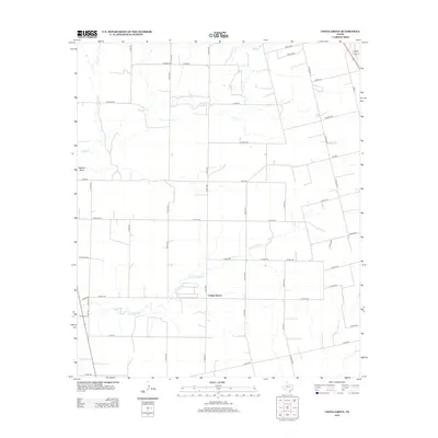
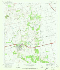
2012 Map of China Grove
USGS Topo · Published 2012About this map
China Grove serves as the focal point of this Scurry County landscape, situated where the high plains of West Texas begin to break toward the Colorado River watershed. The terrain is defined by a dendritic network of ephemeral waterways, including Sulphur Cr and Little Sulphur Cr, which carve subtle drainage patterns across the rural acreage. The settlement pattern follows a rigid rectilinear grid of county roads, such as Denson Rd and Lucas Rd N, reflecting the long-established ranching and agricultural divisions of the region. Notable geographic features like Wildcat Draw and Dry Run indicate a landscape shaped by intermittent water flow, while Lone Wolf Cr marks the eastern edge of the survey. The prevalence of private roads and state routes like FM-1606 and FM-644 highlights the modern transportation infrastructure supporting the sparse population centers and livestock operations characteristic of this part of the state.
Find a feature on this map
44 named features on this map. Tap any name to fly to it.
Don’t see what you’re looking for? This feature index may not catch every label — zoom into the map to look around manually.
Map Details
Editions of this 2012 China Grove Map
This is the sole edition of this map. No revisions or reprints were ever made.
Other maps of this area
1950 · Cedar Bend
USGS Topo · 1:24,000
1951 · Dunn
USGS Topo · 1:24,000
1952 · Snyder
USGS Topo · 1:24,000
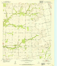
1952 · China Grove
USGS Topo · 1:24,000
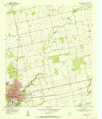
1952 · Colorado City
USGS Topo · 1:24,000
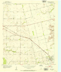
1952 · Hermleigh
USGS Topo · 1:24,000

1954 · Big Spring
USGS Topo · 1:250,000

1958 · Big Spring
USGS Topo · 1:250,000
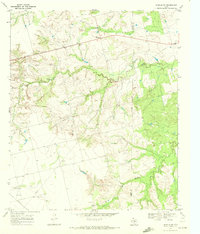
1969 · Inadale NW
USGS Topo · 1:24,000
1969 · Loraine
USGS Topo · 1:24,000