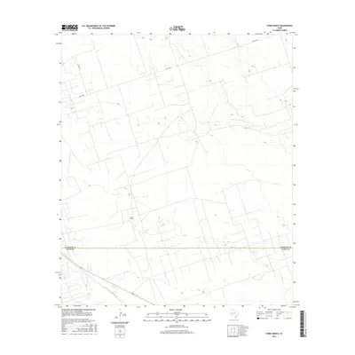
2016 Map of China Ranch
USGS Topo · Published 2016About this map
The high desert landscape of West Texas is marked here by the solitary China Ranch, situated just north of the county line. This 2016 survey captures the transition across the Winkler Co Ward Co boundary, where a sparse network of county roads like Co Rd 404 and Co Rd 306 provide the only significant infrastructure through the arid terrain. The map illustrates the characteristic isolation of the Permian Basin region, defined by its elevation contours and a landscape largely open and undeveloped, typical of the rural cattle and ranching country between the Pecos River and the Monahans Sandhills.
Find a feature on this map
4 named features on this map. Tap any name to fly to it.
Don’t see what you’re looking for? This feature index may not catch every label — zoom into the map to look around manually.
Map Details
Editions of this 2016 China Ranch Map
This is the sole edition of this map. No revisions or reprints were ever made.
Other maps of this area

1954 · Pecos
USGS Topo · 1:250,000
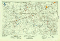
1957 · Pecos
USGS Topo · 1:250,000
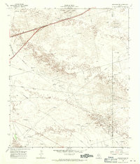
1968 · Monahans SE
USGS Topo · 1:24,000
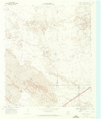
1968 · Cowden Place
USGS Topo · 1:24,000
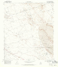
1968 · China Ranch
USGS Topo · 1:24,000
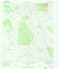
1969 · Pyote NE
USGS Topo · 1:24,000
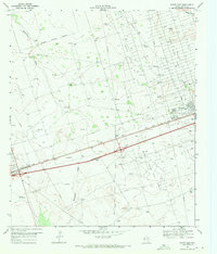
1969 · Pyote East
USGS Topo · 1:24,000
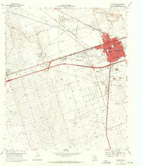
1969 · Monahans
USGS Topo · 1:24,000
1970 · Kermit
USGS Topo · 1:24,000
1971 · Amburgey Ranch
USGS Topo · 1:24,000