
1902 Map of Chittenango
USGS Topo · Published 1902About this map
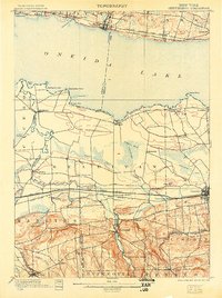
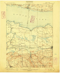
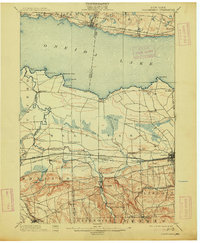
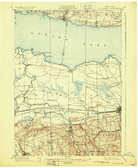
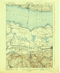
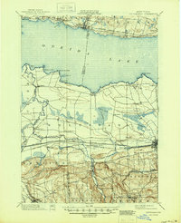
Erie Canal shipping and multiple rail corridors define the landscape of Central New York at the turn of the century, illustrating a period of intense transit and trade. The map highlights the bustling village of Canastota and the settlement at Chittenango, situated near the canal's path. To the north, the southern shoreline of Oneida Lake is dotted with points and bays like Shackelton Point and Billington Bay, while the New York Ontario and Western R. R. skirts the northern coast through Constantia and Cleveland.
Find a feature on this map
71 named features on this map. Tap any name to fly to it.
Don’t see what you’re looking for? This feature index may not catch every label — zoom into the map to look around manually.
Map Details
Editions of this 1902 Chittenango Map
7 editions found
Other maps of this area

1895 · Chittenango
USGS Topo · 1:62,500

1895 · Syracuse
USGS Topo · 1:62,500

1895 · Oneida
USGS Topo · 1:62,500

1897 · Cazenovia
USGS Topo · 1:62,500

1898 · Oneida
USGS Topo · 1:62,500

1898 · Syracuse
USGS Topo · 1:62,500

1898 · Chittenango
USGS Topo · 1:62,500

1899 · Cazenovia
USGS Topo · 1:62,500

1900 · Tully
USGS Topo · 1:62,500

1902 · Morrisville
USGS Topo · 1:62,500