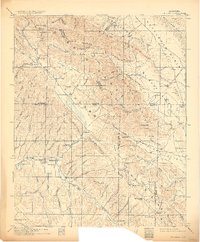
1917 Map of Cholame
USGS Topo · Published 1929About this map
The Cholame Range and the arid eastern stretches of San Luis Obispo County define this landscape as it was surveyed before 1917. The map captures a transition between the rugged heights of Reef Ridge and the broad, flat expanses of the Kettleman Plain and Antelope Valley. Quicksilver mining was a vital local industry during this era, evidenced by the Patriquin Quicksilver Mine and the Kings Quicksilver Mine near Table Mountain.
Find a feature on this map
103 named features on this map. Tap any name to fly to it.
Don’t see what you’re looking for? This feature index may not catch every label — zoom into the map to look around manually.
Map Details
Editions of this 1917 Cholame Map
4 editions found
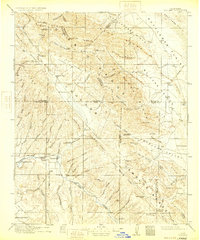
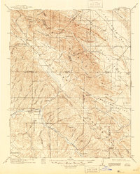
Other maps of this area

1897 · San Luis Obispo
USGS Topo · 1:62,500

1900 · San Luis
USGS Topo · 1:125,000

1912 · Coalinga
USGS Topo · 1:125,000

1912 · McKittrick
USGS Topo · 1:125,000

1914 · Lost Hills
USGS Topo · 1:125,000

1914 · Cholame
USGS Topo · 1:125,000

1915 · Priest Valley
USGS Topo · 1:125,000

1915 · Cholame
USGS Topo · 1:125,000

1917 · Cholame
USGS Topo · 1:125,000

1919 · San Miguel
USGS Topo · 1:62,500