
1906 Map of Chopaka
USGS Topo · Published 1906About this map
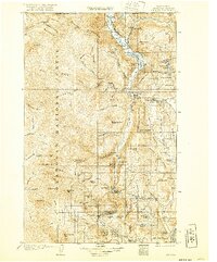
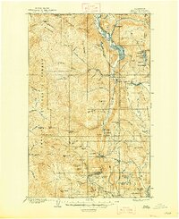
Conconully sits at the southern edge of this mountain-dominated landscape, serving as a hub for the early 20th-century mining districts of Okanogan County. The terrain transitions from the deep valley of the Similkameen River near Nighthawk and the United States Canada Boundary Line into the high peaks of the Washington Forest Reserve. Mining activity is heavily concentrated around Palmer Mtn, where the Grandview Mine, Ivanhoe Mine, and Rainbow Mine mark the extraction efforts of the era. The settlement patterns follow the coulees and creek beds, with places like Loomis and Golden established near reliable water sources such as Palmer Lake and Spectacle Lake. Notable landmarks like Graveyard Flat and Mukamuk Pass provide specific points of interest for genealogists tracing family movements through this northern frontier territory during the early 1900s.
Find a feature on this map
73 named features on this map. Tap any name to fly to it.
Don’t see what you’re looking for? This feature index may not catch every label — zoom into the map to look around manually.
Map Details
Editions of this 1906 Chopaka Map
3 editions found
Other maps of this area

1899 · Methow
USGS Topo · 1:125,000

1901 · Methow
USGS Topo · 1:125,000

1902 · Osoyoos
USGS Topo · 1:125,000

1904 · Osoyoos
USGS Topo · 1:125,000

1905 · Okanogan
USGS Topo · 1:125,000

1953 · Omak Lake
USGS Topo · 1:62,500

1954 · Okanogan
USGS Topo · 1:250,000

1955 · Concrete
USGS Topo · 1:250,000

1956 · Loup Loup
USGS Topo · 1:62,500

1956 · Loomis
USGS Topo · 1:62,500