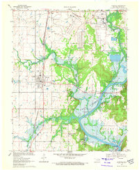
1970 Map of Chouteau
USGS Topo · Published 1972About this map
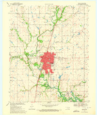
The town of Chouteau stands as a central hub in this northeastern Oklahoma landscape, where the Missouri-Kansas-Texas railroad intersects with a transitioning rural and industrial economy. To the north, the sprawling Mid-America Industrial District and the Pryor Municipal Airport reflect mid-century growth, while to the south and east, the Neosho River widens into the Fort Gibson Reservoir.
Find a feature on this map
27 named features on this map. Tap any name to fly to it.
Don’t see what you’re looking for? This feature index may not catch every label — zoom into the map to look around manually.
Map Details
Editions of this 1970 Chouteau Map
4 editions found
Other maps of this area

1896 · Pryor
USGS Topo · 1:125,000

1901 · Pryor
USGS Topo · 1:125,000

1954 · Tulsa
USGS Topo · 1:250,000

1958 · Tulsa
USGS Topo · 1:250,000

1963 · Tulsa
USGS Topo · 1:250,000
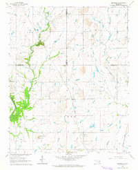
1963 · Neodesha
USGS Topo · 1:24,000
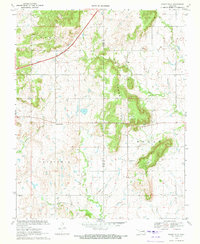
1970 · Osage Hills
USGS Topo · 1:24,000
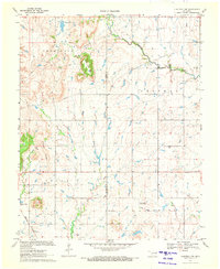
1970 · Chouteau NW
USGS Topo · 1:24,000
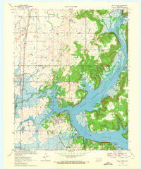
1970 · Rocky Point
USGS Topo · 1:24,000
1970 · Pryor
USGS Topo · 1:24,000