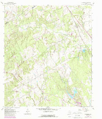
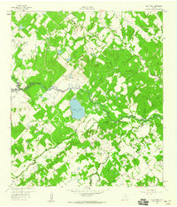
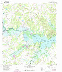
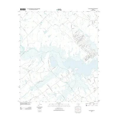
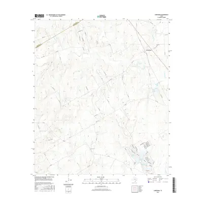
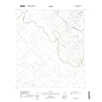
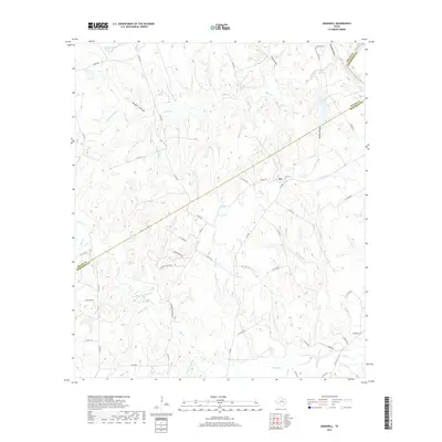
1962 Map of Chriesman
USGS Topo · Published 1989About this map
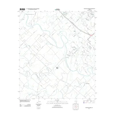
The borderlands of Milam Co Burleson Co are defined by the winding course of Davidson Creek and its many tributaries, creating a landscape deeply marked by early Texas settlement and resource extraction. At the time of this 1960s survey, updated in the late 1980s, the community of Chriesman stands as a primary hub near the Chriesman Cem, while an Old Railroad Grade traces the legacy of former transportation corridors.
Find a feature on this map
20 named features on this map. Tap any name to fly to it.
Don’t see what you’re looking for? This feature index may not catch every label — zoom into the map to look around manually.
Map Details
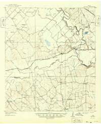
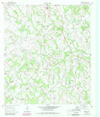
Editions of this 1962 Chriesman Map
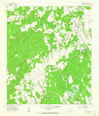
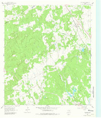
Historical Maps of Chriesman Through Time
32 maps found
1914 Gay Hill
Burleson County, TX
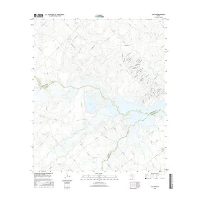
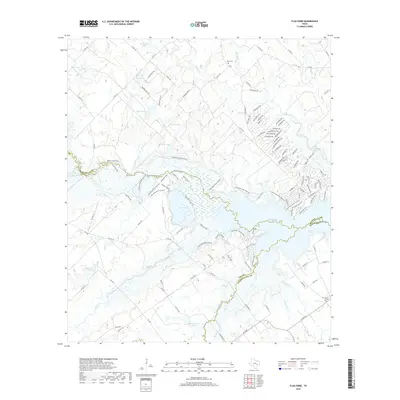
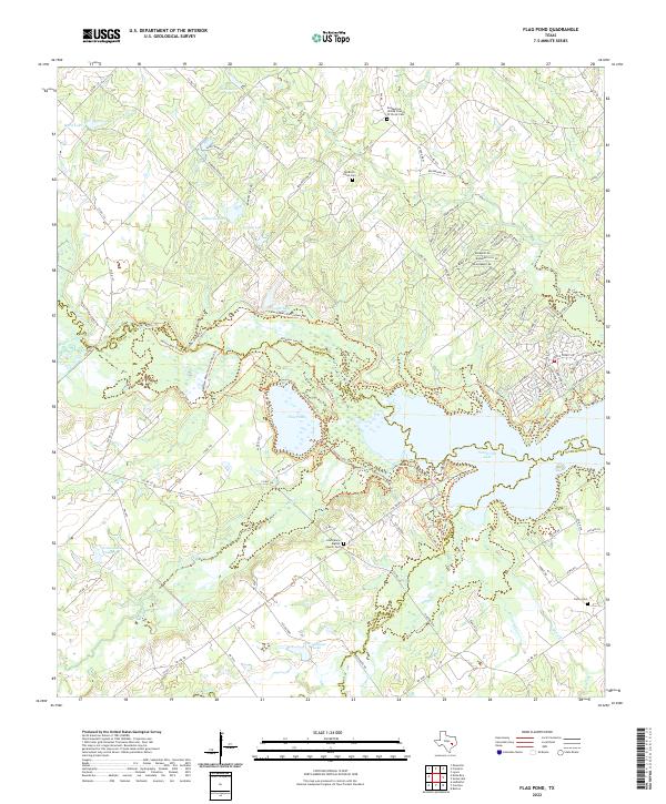
1959 Flag Pond
Burleson County, TX
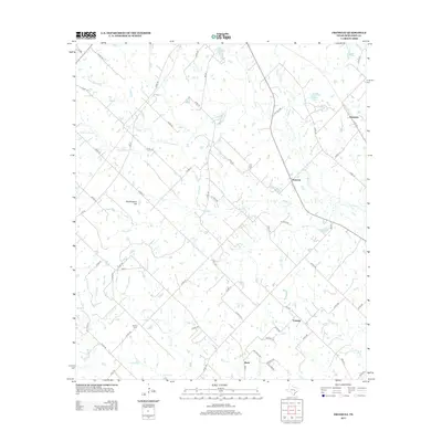
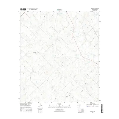
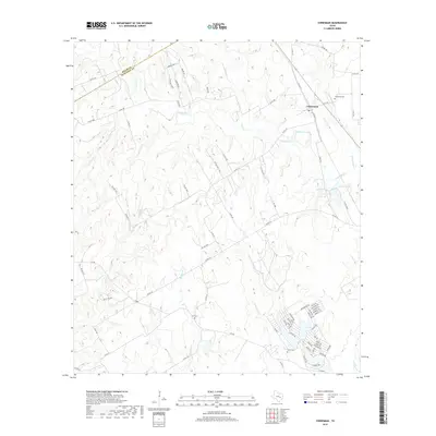
1960 Frenstat
Burleson County, TX
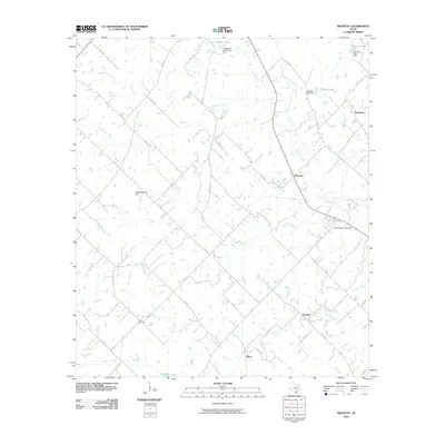
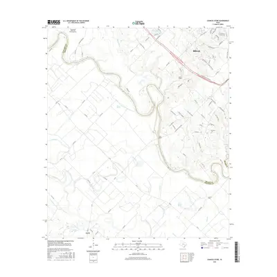
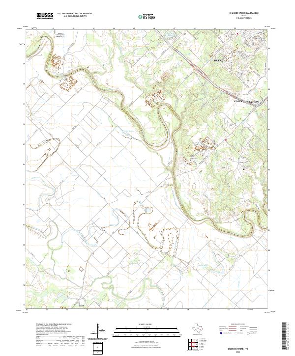
1962 Chances Store
Burleson County, TX
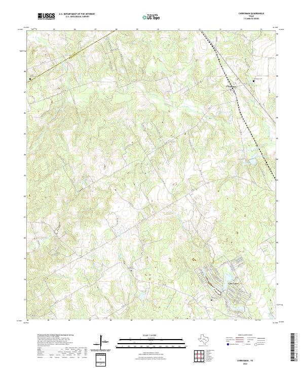
1962 Chriesman
Burleson County, TX
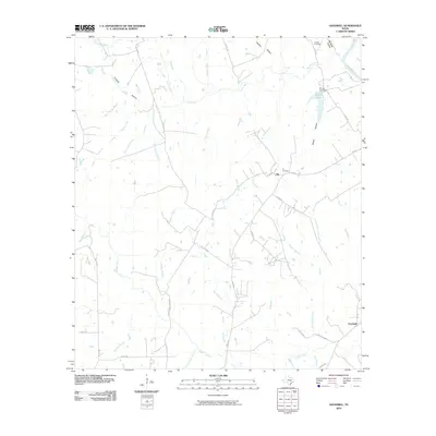
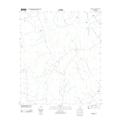
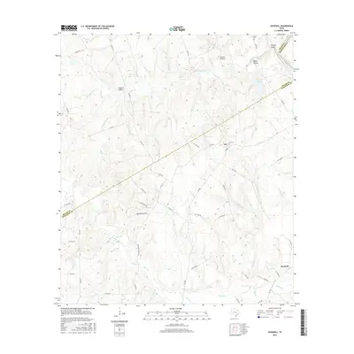
1962 Goodwill
Burleson County, TX
1971 Flag Pond
Burleson County, TX
2010 Chances Store
Burleson County, TX
2010 Chriesman
Burleson County, TX
2010 Flag Pond
Burleson County, TX
2010 Frenstat
Burleson County, TX
2010 Goodwill
Burleson County, TX
2013 Chances Store
Burleson County, TX
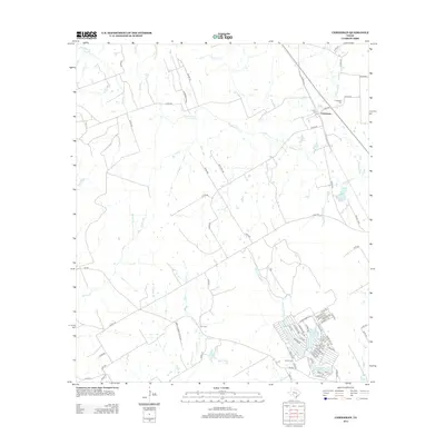
2013 Chriesman
Burleson County, TX
2013 Flag Pond
Burleson County, TX
2013 Frenstat
Burleson County, TX
2013 Goodwill
Burleson County, TX
2016 Chances Store
Burleson County, TX
2016 Chriesman
Burleson County, TX
2016 Flag Pond
Burleson County, TX
2016 Frenstat
Burleson County, TX
2016 Goodwill
Burleson County, TX
2019 Chances Store
Burleson County, TX
2019 Chriesman
Burleson County, TX
2019 Flag Pond
Burleson County, TX
2019 Frenstat
Burleson County, TX
2019 Goodwill
Burleson County, TX
2022 Chances Store
Burleson County, TX
2022 Chriesman
Burleson County, TX
2022 Flag Pond
Burleson County, TX
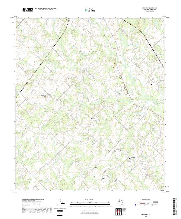
2022 Frenstat
Burleson County, TX
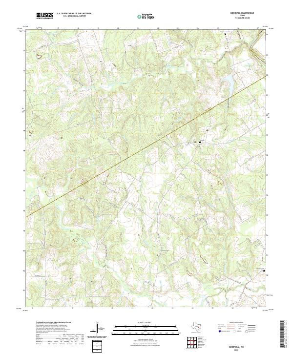
2022 Goodwill
Burleson County, TX