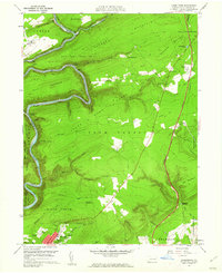
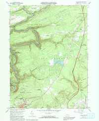
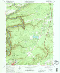
1960 Map of Christmans
USGS Topo · Published 1962About this map
The Lehigh River carves a deep, winding canyon through the mountains of Carbon County, serving as a primary corridor for the Central RR of New Jersey and the Lehigh Valley RR. In the southern portion of the map, the borough of Jim Thorpe is shown following its mid-century consolidation, featuring the Jim Thorpe Tomb, Memorial Park, and the High Sch. The landscape is dominated by the steep slopes of Summer Mountain and Bald Mountain, largely preserved within State Game Lands No 141 and Penn State Forest.
Find a feature on this map
63 named features on this map. Tap any name to fly to it.
Don’t see what you’re looking for? This feature index may not catch every label — zoom into the map to look around manually.
Map Details
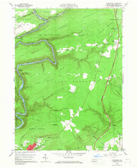
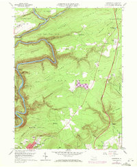
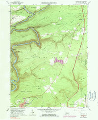
Editions of this 1960 Christmans Map
6 editions found
Other maps of this area

1889 · Hazleton
USGS Topo · 1:62,500

1891 · Wilkesbarre
USGS Topo · 1:62,500

1891 · Hazleton
USGS Topo · 1:62,500

1893 · Hazleton
USGS Topo · 1:62,500

1894 · Wilkesbarre
USGS Topo · 1:62,500

1922 · Mauch Chunk
USGS Topo · 1:62,500

1922 · Stoddartsville
USGS Topo · 1:62,500

1924 · Stoddartsville
USGS Topo · 1:62,500

1924 · Mauch Chunk
USGS Topo · 1:62,500

1943 · Scranton
USGS Topo · 1:125,000
Featured Places
- Jim Thorpe, PA
- Kidder Township, PA
- Towamensing Township, PA
- Penn Forest Township, PA
- Drakes Creek, Penn Forest Township