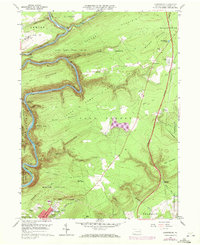
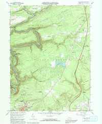
1960 Map of Christmans
USGS Topo · Published 1972About this map
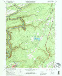
The Lehigh River snakes through the deep valleys of Carbon County, cutting a prominent path through Bald Mountain and Summer Mountain. This 1970 photorevised survey illustrates the complex rail infrastructure of the era, where the Lehigh Valley RR and the Central RR of New Jersey converge at Penn Haven Junction. These transport corridors follow the river’s winding course, notably passing through the Rockport Tunnel, a testament to the engineering required to navigate the anthracite coal region’s difficult topography.
Find a feature on this map
64 named features on this map. Tap any name to fly to it.
Don’t see what you’re looking for? This feature index may not catch every label — zoom into the map to look around manually.
Map Details
Editions of this 1960 Christmans Map
6 editions found
Other maps of this area

1889 · Hazleton
USGS Topo · 1:62,500

1891 · Wilkesbarre
USGS Topo · 1:62,500

1891 · Hazleton
USGS Topo · 1:62,500

1893 · Hazleton
USGS Topo · 1:62,500

1894 · Wilkesbarre
USGS Topo · 1:62,500

1922 · Mauch Chunk
USGS Topo · 1:62,500

1922 · Stoddartsville
USGS Topo · 1:62,500

1924 · Stoddartsville
USGS Topo · 1:62,500

1924 · Mauch Chunk
USGS Topo · 1:62,500

1943 · Scranton
USGS Topo · 1:125,000
Featured Places
- Jim Thorpe, PA
- Kidder Township, PA
- Towamensing Township, PA
- Penn Forest Township, PA
- Drakes Creek, Penn Forest Township