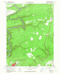
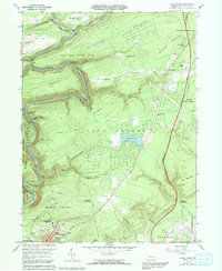
1960 Map of Christmans
USGS Topo · Published 1967About this map
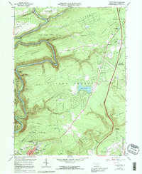
Jim Thorpe serves as the focal point in this 1960 survey, situated where the Lehigh River snakes through deep gaps between Pocono Mountain and Bald Mountain. The landscape reveals a complex transportation history, with the Central RR of New Jersey and the L V RR of N J following the river's tight curves through the Rockport Tunnel and the strategic Penn Haven Junction. These industrial lifelines are juxtaposed against massive tracts of protected land, including State Game Lands No 141 and Hickory Run State Park. Local heritage is anchored by significant sites like the Jim Thorpe Tomb and several burial grounds, such as Evergreen Cem and the German Cem. The map captures the region as the Pennsylvania Turnpike Northeast Extension began to redefine transit across Summer Mountain, bypassing the smaller settlements of Christmansville and Unionville.
Find a feature on this map
64 named features on this map. Tap any name to fly to it.
Don’t see what you’re looking for? This feature index may not catch every label — zoom into the map to look around manually.
Map Details
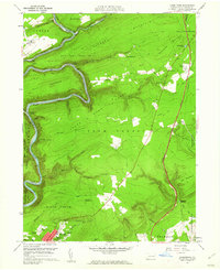
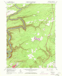
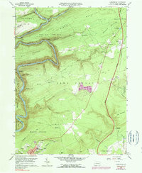
Editions of this 1960 Christmans Map
6 editions found
Other maps of this area

1889 · Hazleton
USGS Topo · 1:62,500

1891 · Wilkesbarre
USGS Topo · 1:62,500

1891 · Hazleton
USGS Topo · 1:62,500

1893 · Hazleton
USGS Topo · 1:62,500

1894 · Wilkesbarre
USGS Topo · 1:62,500

1922 · Mauch Chunk
USGS Topo · 1:62,500

1922 · Stoddartsville
USGS Topo · 1:62,500

1924 · Stoddartsville
USGS Topo · 1:62,500

1924 · Mauch Chunk
USGS Topo · 1:62,500

1943 · Scranton
USGS Topo · 1:125,000
Featured Places
- Jim Thorpe, PA
- Kidder Township, PA
- Towamensing Township, PA
- Penn Forest Township, PA
- Drakes Creek, Penn Forest Township