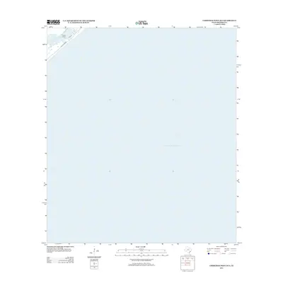
2013 Map of Christmas Point OE S
USGS Topo · Published 2013About this map
Gulf of Mexico waters dominate this coastal survey south of Freeport, Texas. The map focuses on the shoreline where the mainland meets the sea at Drum Point, a small land feature in the northwest corner of the quadrangle. Only a thin strip of the Texas coast is visible, showing the early 21st-century alignment of the Blue Water Hwy and its intersection with Palm St. The vast majority of the sheet is dedicated to the offshore waters of the gulf, providing a clear record of the coastline's position and the primary transportation route running parallel to the surf. This specific edition is helpful for researchers tracking coastal erosion or the development of beachfront access roads in Brazoria County.
Find a feature on this map
4 named features on this map. Tap any name to fly to it.
Don’t see what you’re looking for? This feature index may not catch every label — zoom into the map to look around manually.
Map Details
Editions of this 2013 Christmas Point OE S Map
This is the sole edition of this map. No revisions or reprints were ever made.
Other maps of this area

1933 · San Luis Pass
USGS Topo · 1:31,680

1943 · San Luis Pass
USGS Topo · 1:31,680

1943 · Oyster Creek
USGS Topo · 1:31,680

1943 · Freeport
USGS Topo · 1:31,680

1943 · Christmas Point
USGS Topo · 1:24,000

1950 · Houston
USGS Topo · 1:250,000

1951 · Bay City
USGS Topo · 1:250,000

1956 · Houston
USGS Topo · 1:250,000

1956 · Bay City
USGS Topo · 1:250,000

1958 · Bay City
USGS Topo · 1:250,000