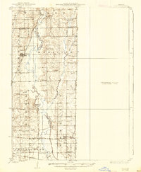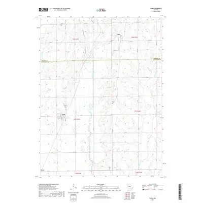
1947 Map of Chula
USGS Topo · Published 1947About this map
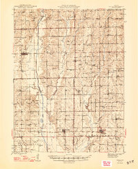
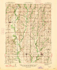
Medicine Creek and its complex network of tributaries, including Muddy Creek, Parson Creek, and Little Muddy Creek, define the agricultural landscape of northern Missouri in the mid-1940s. This survey captures a rural world organized by a dense grid of country schools and churches, such as Mt Gilead Ch, Eureka Ch, and New York Sch, many of which served as the social heart of their respective townships. The map documents the vital transport corridors of the era, from the north-south route of Highway 139 through Chula to the major east-west line of U.S. Highway 36 passing through Wheeling and Meadville. This period represents the peak of rail integration in the region, with the Chicago Milwaukee St Paul and Pacific, Chicago Burlington and Quincy, and Wabash railroads all traversing the county, supporting the small-town economies of Norville and Sturges.
Find a feature on this map
85 named features on this map. Tap any name to fly to it.
Don’t see what you’re looking for? This feature index may not catch every label — zoom into the map to look around manually.
Map Details
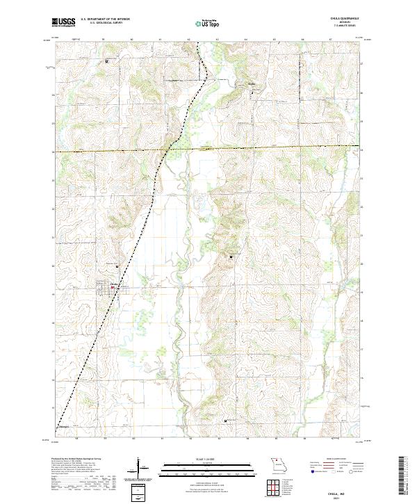
Editions of this 1947 Chula Map
3 editions found
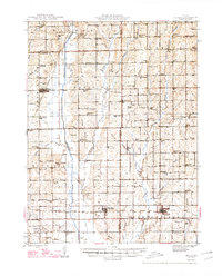
Historical Maps of Meadville Through Time
7 maps found