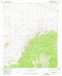
1982 Map of Church Mountain
USGS Topo · Published 1982About this map
Sierra Blanca Mountains rise sharply in this corner of Lincoln County, where the high timber of the Lincoln National Forest meets the arid drainage of the northern basin. The landscape is defined by its verticality, transitioning from the open reaches of Lemon Draw and Hughes Draw into the high peaks of Church Mountain and Diamond Peak. Within this complex terrain, the resource-driven history of the region is evident through scattered infrastructure like the Junction Mine and the various drill holes and wells that dot the foothills.
Find a feature on this map
48 named features on this map. Tap any name to fly to it.
Don’t see what you’re looking for? This feature index may not catch every label — zoom into the map to look around manually.
Map Details
Editions of this 1982 Church Mountain Map
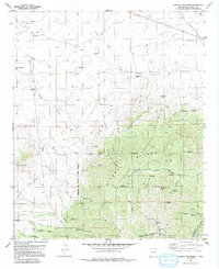
2 editions found
Other maps of this area

1934 · Capitan
USGS Topo · 1:48,000

1937 · Capitan
USGS Topo · 1:62,500

1938 · Carrizozo
USGS Topo · 1:48,000

1943 · Carrizozo
USGS Topo · 1:62,500

1950 · Carrizozo
USGS Topo · 1:62,500

1950 · Sierra Blanca Peak
USGS Topo · 1:62,500

1955 · Roswell
USGS Topo · 1:250,000

1958 · Roswell
USGS Topo · 1:250,000

1962 · Roswell
USGS Topo · 1:250,000

1963 · Angus
USGS Topo · 1:24,000