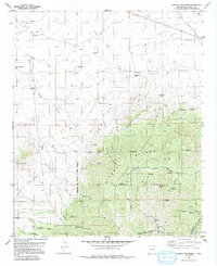
1982 Map of Church Mountain
USGS Topo · Published 1992About this map
The Sierra Blanca Mountains dominate this 1982 topographic study, where high ridges like Shelerville Ridge and peaks including Diamond Peak and Church Mountain overlook a complex network of draws and canyons. The landscape is defined by the high-elevation boundary of the Lincoln National Forest and the White Mountain Wilderness. Human presence is sparse, marked primarily by isolated water sources and ranching infrastructure such as the Diamond Peak Ranch, Harkey Windmill, and City Windmill.
Find a feature on this map
40 named features on this map. Tap any name to fly to it.
Don’t see what you’re looking for? This feature index may not catch every label — zoom into the map to look around manually.
Map Details
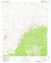
Editions of this 1982 Church Mountain Map
2 editions found
Other maps of this area

1934 · Capitan
USGS Topo · 1:48,000

1937 · Capitan
USGS Topo · 1:62,500

1938 · Carrizozo
USGS Topo · 1:48,000

1943 · Carrizozo
USGS Topo · 1:62,500

1950 · Carrizozo
USGS Topo · 1:62,500

1950 · Sierra Blanca Peak
USGS Topo · 1:62,500

1955 · Roswell
USGS Topo · 1:250,000

1958 · Roswell
USGS Topo · 1:250,000

1962 · Roswell
USGS Topo · 1:250,000

1963 · Angus
USGS Topo · 1:24,000