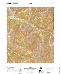
2018 Map of Circle A-1 NE
USGS Topo · Published 2018About this map
Yukon Fork S Fork Birch Cr defines the northern landscape of this interior Alaskan wilderness, carving through the high elevations of the Yukon-Koyukuk region. This 2018 survey depicts a roadless expanse where natural watercourses are the primary identifiers of the land. In the southern portion of the quadrangle, the headwaters of Caribou Cr traverse the township boundaries of t4n r18e and t4n r17e. The map illustrates a strictly topographical environment, focusing on the intricate contour lines of the uplands without the presence of human settlements, trails, or developed infrastructure, reflecting the isolation of the Birch Creek watershed.
Find a feature on this map
6 named features on this map. Tap any name to fly to it.
Don’t see what you’re looking for? This feature index may not catch every label — zoom into the map to look around manually.
Map Details
Editions of this 2018 Circle A-1 NE Map
This is the sole edition of this map. No revisions or reprints were ever made.
Other maps of this area

1951 · Charley River
USGS Topo · 1:250,000

1951 · Circle
USGS Topo · 1:250,000

1955 · Circle A-1
USGS Topo · 1:63,360

1955 · Circle B-1
USGS Topo · 1:63,360

1955 · Circle
USGS Topo · 1:250,000

1956 · Charley River B-6
USGS Topo · 1:63,360

1956 · Charley River A-6
USGS Topo · 1:63,360

1956 · Charley River
USGS Topo · 1:250,000

1964 · Circle
USGS Topo · 1:250,000
2018 · Circle B-1 SE
USGS Topo · 1:25,000