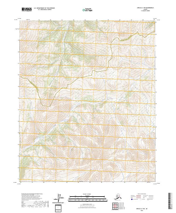
2024 Map of Circle A-1 SW
USGS Topo · Published 2024About this map
The Steese National Conservation Area protects the northern portion of this landscape, where the headwaters of the South Fork Birch Creek begin their journey through the Interior. This interior wilderness is defined by the high divide separating major drainage systems, with the Salcha River winding through the central and western reaches of the quadrangle. The terrain is marked by significant elevation changes, from the depths of Little Windy Gulch to the complex ridges along the border of the Yukon-Koyukuk Census Area and Fairbanks North Star Borough. Farther south, Cottonwood Creek feeds into the network of waterways that once served as vital travel corridors for local inhabitants. This map documents a region largely free of permanent settlements, focused instead on the preservation of the vast watershed and the naturally occurring boundaries between Alaskan administrative districts.
Find a feature on this map
11 named features on this map. Tap any name to fly to it.
Don’t see what you’re looking for? This feature index may not catch every label — zoom into the map to look around manually.
Map Details
Editions of this 2024 Circle A-1 SW Map
This is the sole edition of this map. No revisions or reprints were ever made.
Other maps of this area

1950 · Big Delta
USGS Topo · 1:250,000

1951 · Big Delta
USGS Topo · 1:250,000

1951 · Circle
USGS Topo · 1:250,000

1955 · Circle A-2
USGS Topo · 1:63,360

1955 · Circle A-1
USGS Topo · 1:63,360

1955 · Circle
USGS Topo · 1:250,000

1958 · Big Delta D-2
USGS Topo · 1:63,360

1958 · Big Delta D-1
USGS Topo · 1:63,360

1958 · Big Delta
USGS Topo · 1:250,000

1964 · Circle
USGS Topo · 1:250,000