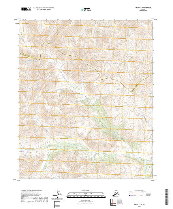
2024 Map of Circle A-2 SE
USGS Topo · Published 2024About this map
Steese National Conservation Area defines the high-altitude landscape of this interior Alaskan quadrangle. The terrain is structured by several significant drainage systems, including the Middle Fork Chena River which carves through the northwestern corner, and the Salcha River appearing in the southeastern reaches. These waterways are fed by smaller, steeply graded tributaries like Big Windy Creek and Little Windy Gulch. The map also documents the administrative boundary for the Yukon-Koyukuk Census Area Fairbanks North Star Borough, showing how these two massive regions meet in the subarctic wilderness. The absence of roads or permanent settlements emphasizes the protected and undeveloped nature of this conservation landscape at the time of the survey.
Find a feature on this map
11 named features on this map. Tap any name to fly to it.
Don’t see what you’re looking for? This feature index may not catch every label — zoom into the map to look around manually.
Map Details
Editions of this 2024 Circle A-2 SE Map
This is the sole edition of this map. No revisions or reprints were ever made.
Other maps of this area

1950 · Big Delta
USGS Topo · 1:250,000

1951 · Big Delta
USGS Topo · 1:250,000

1951 · Circle
USGS Topo · 1:250,000

1955 · Circle A-2
USGS Topo · 1:63,360

1955 · Circle A-1
USGS Topo · 1:63,360

1955 · Circle
USGS Topo · 1:250,000

1958 · Big Delta D-2
USGS Topo · 1:63,360

1958 · Big Delta D-1
USGS Topo · 1:63,360

1958 · Big Delta
USGS Topo · 1:250,000

1964 · Circle
USGS Topo · 1:250,000