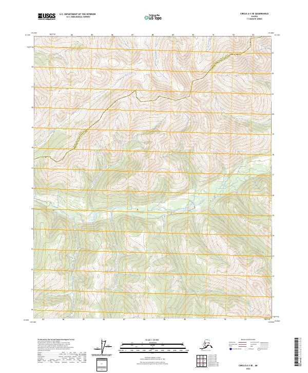
2024 Map of Circle A-3 SE
USGS Topo · Published 2024About this map
The Steese National Conservation Area encompasses the northern portion of this landscape, marking a vast protected wilderness north of the Middle Fork Chena River. The terrain is defined by a dense network of high-elevation drainages, where the headwaters of Caribou Creek, Mascot Creek, and Salmonfork Creek carve through the interior highlands. This area sits at a significant political boundary between the Yukon-Koyukuk Census Area and the Fairbanks North Star Borough, a line that traverses the ridges above Cash Creek and Anvil Creek. The map documents the complex hydrography of the region, including the winding path of Dexter Creek, in a remote corner of Alaska where the river valleys dictate the movement and geography of the land.
Find a feature on this map
14 named features on this map. Tap any name to fly to it.
Don’t see what you’re looking for? This feature index may not catch every label — zoom into the map to look around manually.
Map Details
Editions of this 2024 Circle A-3 SE Map
This is the sole edition of this map. No revisions or reprints were ever made.
Other maps of this area

1950 · Big Delta
USGS Topo · 1:250,000

1951 · Big Delta
USGS Topo · 1:250,000

1951 · Circle
USGS Topo · 1:250,000

1955 · Circle A-2
USGS Topo · 1:63,360

1955 · Circle A-3
USGS Topo · 1:63,360

1955 · Circle
USGS Topo · 1:250,000

1958 · Big Delta D-3
USGS Topo · 1:63,360

1958 · Big Delta D-2
USGS Topo · 1:63,360

1958 · Big Delta
USGS Topo · 1:250,000

1964 · Circle
USGS Topo · 1:250,000