Loading...
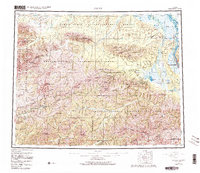
Loading map...1955 Map of Circle
USGS Topo · Published 1982About this map
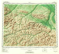
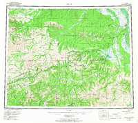
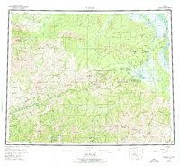
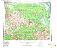
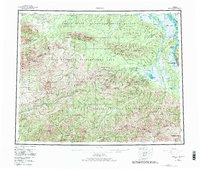
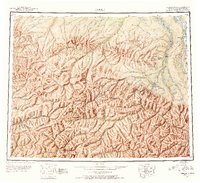
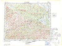
The Yukon River defines the northeastern boundary of this Interior Alaska landscape, where the Steese Highway provides the primary corridor for gold-era settlements and interior travel. The map highlights the historic community of Central and the nearby Circle Hot Springs, a significant early recreational and mining service hub. To the north and south of the highway, the Crazy Mountains and the White Mountains dominate the terrain, interrupted by named peaks like Porcupine Dome and Eagle Summit.
Find a feature on this map
44 named features on this map. Tap any name to fly to it.
Don’t see what you’re looking for? This feature index may not catch every label — zoom into the map to look around manually.
Map Details
Date Portrayed1955
Date Published1982
PublisherU.S. Geological Survey
Map TypeTopographic
Scale1:250,000
Physical Dimensions26.9 x 23.3 inches
Editions of this 1955 Circle Map
8 editions found


Historical Maps of Circle Through Time
3 maps found
Featured Locations
Source Details
SourceU.S. Geological Survey
CopyrightPublic Domain