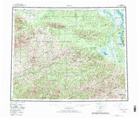
1955 Map of Circle
USGS Topo · Published 1982About this map
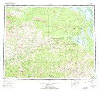
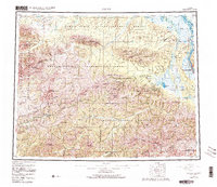
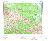
The Yukon River and the high interior ridges of the White Mountains and Crazy Mountains define this mid-century portrait of interior Alaska. The Steese Highway serves as the primary artery through the landscape, connecting small outposts like Central and Miller House to the end of the road at Circle. This survey captures the region's reliance on roadhouses and natural thermal features, exemplified by Circle Hot Springs.
Find a feature on this map
46 named features on this map. Tap any name to fly to it.
Don’t see what you’re looking for? This feature index may not catch every label — zoom into the map to look around manually.
Map Details
Editions of this 1955 Circle Map
8 editions found

Other maps of this area

1945 · Livengood
USGS Topo · 1:250,000

1949 · Fairbanks D-1
USGS Topo · 1:62,500

1950 · Fairbanks
USGS Topo · 1:250,000

1950 · Big Delta
USGS Topo · 1:250,000

1950 · Big Delta D-6
USGS Topo · 1:63,360

1951 · Big Delta
USGS Topo · 1:250,000

1951 · Fort Yukon
USGS Topo · 1:250,000

1951 · Charley River
USGS Topo · 1:250,000

1951 · Eagle
USGS Topo · 1:250,000

1951 · Black River
USGS Topo · 1:250,000