Loading...
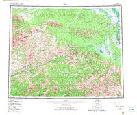
Loading map...1955 Map of Circle
USGS Topo · Published 1982About this map
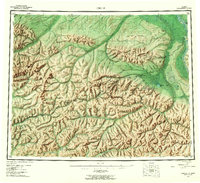
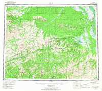
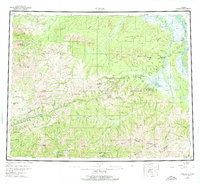
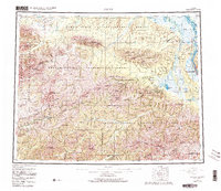
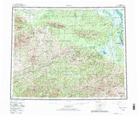
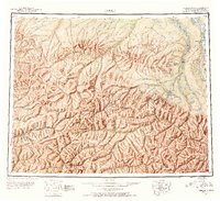
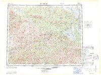
Circle stands as a vital terminus on the banks of the Yukon River, marking the northern end of the Steese Highway. This 1955 survey, with updates into the early 1980s, details the interior Alaskan corridor between the White Mountains and the Crazy Mountains. The landscape is a complex network of high-altitude passes and mining-era waypoints, including the historic Miller House and Central, which served as essential stops for travelers and prospectors.
Find a feature on this map
55 named features on this map. Tap any name to fly to it.
Don’t see what you’re looking for? This feature index may not catch every label — zoom into the map to look around manually.
Map Details
Date Portrayed1955
Date Published1982
PublisherU.S. Geological Survey
Map TypeTopographic
Scale1:250,000
Physical Dimensions27.5 x 23.1 inches
Editions of this 1955 Circle Map
8 editions found


Historical Maps of Circle Through Time
3 maps found
Featured Locations
Source Details
SourceU.S. Geological Survey
CopyrightPublic Domain