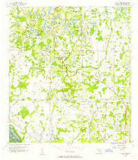
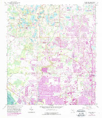
1956 Map of Citrus Park
USGS Topo · Published 1957About this map
Citrus Park and the surrounding northwest Hillsborough County landscape are defined by a dense network of freshwater lakes and the transit corridor of the Seaboard Air Line railroad. In the mid-1950s, this area remained largely rural, dotted with small communities like Cosme and Mullis City. The topography is characterized by a high concentration of water bodies including Keystone Lake, Lake LeClare, and the curiously named Starvation L. Near the Keystone Ch, several smaller lakes like Rainbow Lake and Echo Lake create a fragmented terrain, while the Waterworks site near Lake Rogers suggests early utility infrastructure development. The drainage patterns of Brooker Creek and Rocky Creek show the natural flow through the marshy lowlands before the period of intensive suburban expansion that would eventually reshape this part of the Florida peninsula.
Find a feature on this map
48 named features on this map. Tap any name to fly to it.
Don’t see what you’re looking for? This feature index may not catch every label — zoom into the map to look around manually.
Map Details
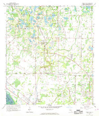
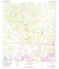
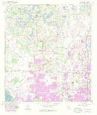
Editions of this 1956 Citrus Park Map
5 editions found
Other maps of this area

1921 · Tampa
USGS Topo · 1:62,500

1921 · St Petersburg
USGS Topo · 1:62,500

1943 · Gandy Bridge
USGS Topo · 1:31,680

1943 · Safety Harbor
USGS Topo · 1:31,680

1943 · Odessa
USGS Topo · 1:24,000

1943 · Elfers
USGS Topo · 1:24,000

1943 · Lutz
USGS Topo · 1:24,000

1943 · Oldsmar
USGS Topo · 1:24,000

1944 · Sulphur Springs
USGS Topo · 1:31,680

1944 · Tampa
USGS Topo · 1:31,680