
1956 Map of Citrus Park
USGS Topo · Published 1970About this map
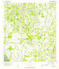
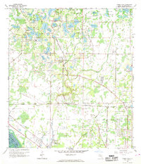
Citrus Park and the surrounding Hillsborough County landscape appear here during a period of transition as suburban expansion begins to overlay the older agricultural and lakefront settlements. The Seaboard Coast Line railroad serves as a central spine for the region, connecting smaller nodes like Cosme and Brooker to the larger network. The area is defined by its high density of freshwater bodies, ranging from large basins like Keystone Lake to smaller ones such as James L and Little Moon Lake. This survey illustrates the early footprint of residential development and infrastructure, including the Waterworks and various scattered churches such as Keystone Ch. The southern portion of the map shows the drainage of Rocky Creek, where the natural topography meets the increasing presence of trailer parks and newer street grids, reflecting Florida's mid-century growth pattern.
Find a feature on this map
49 named features on this map. Tap any name to fly to it.
Don’t see what you’re looking for? This feature index may not catch every label — zoom into the map to look around manually.
Map Details
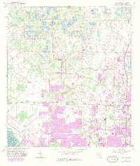
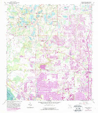
Editions of this 1956 Citrus Park Map
5 editions found
Other maps of this area

1921 · Tampa
USGS Topo · 1:62,500

1921 · St Petersburg
USGS Topo · 1:62,500

1943 · Gandy Bridge
USGS Topo · 1:31,680

1943 · Safety Harbor
USGS Topo · 1:31,680

1943 · Odessa
USGS Topo · 1:24,000

1943 · Elfers
USGS Topo · 1:24,000

1943 · Lutz
USGS Topo · 1:24,000

1943 · Oldsmar
USGS Topo · 1:24,000

1944 · Sulphur Springs
USGS Topo · 1:31,680

1944 · Tampa
USGS Topo · 1:31,680