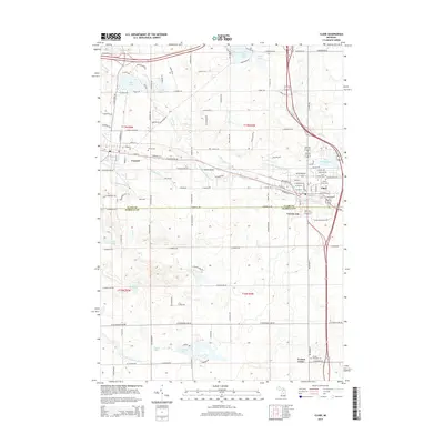
2014 Map of Clare
USGS Topo · Published 2014About this map
Clare and Farwell anchor the landscape where the S Br Tobacco River flows eastward, defining the transition between the rolling hills and the river basins of central Michigan. The 2014 survey reveals a well-developed network of roadways connecting these historic settlements, including Pioneer Pky and W Washington Rd. Water features are prominent throughout, from the developed shores of Lake Shamrock to the more secluded Stevenson Lake and Wahl Lake in the southern portion of the quadrangle. Genealogists and local historians will find significant value in the documentation of several local burial grounds, including Saint Cecilia Cem and Cherry Grove Cem in the Clare area, as well as Surrey Cem near Farwell. The boundary between Clare Co and Isabella Co divides the southern third of the map, marking the jurisdictional change near Vernon City.
Find a feature on this map
83 named features on this map. Tap any name to fly to it.
Don’t see what you’re looking for? This feature index may not catch every label — zoom into the map to look around manually.
Map Details
Editions of this 2014 Clare Map
This is the sole edition of this map. No revisions or reprints were ever made.
Other maps of this area

1916 · Mount Pleasant
USGS Topo · 1:62,500

1919 · Mount Pleasant
USGS Topo · 1:62,500

1930 · Shepherd
USGS Topo · 1:48,000

1936 · Shepherd
USGS Topo · 1:62,500

1943 · Mount Pleasant
USGS Topo · 1:62,500

1954 · Midland
USGS Topo · 1:250,000

1958 · Midland
USGS Topo · 1:250,000

1959 · Midland
USGS Topo · 1:250,000

1959 · Clare
USGS Topo · 1:62,500

1966 · Midland
USGS Topo · 1:250,000