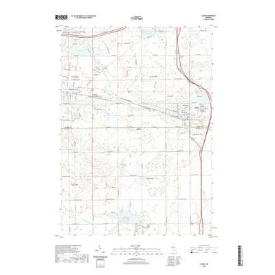
2019 Map of Clare
USGS Topo · Published 2019About this map
Farwell and Clare anchor this central Michigan landscape, where the glacial legacy is evident in a dense network of kettle lakes and meandering river branches. The transition from the S Br Tobacco River in the north to the N Br Chippewa River in the south illustrates the area's complex drainage patterns. Local history is well-preserved through several established burial grounds, including the Surrey Township Cem near Farwell and the Saint Cecilia Cem on the outskirts of Clare. Aviation infrastructure like the Witbeck Aerodrome and Denton Farms Airport punctuates the rural spaces between these settlements. The map also traces various water bodies such as Lake Thirteen, Otter Lake, and Owens Lake, which have long defined the recreation and topography of both Clare and Isabella counties.
Find a feature on this map
73 named features on this map. Tap any name to fly to it.
Don’t see what you’re looking for? This feature index may not catch every label — zoom into the map to look around manually.
Map Details
Editions of this 2019 Clare Map
This is the sole edition of this map. No revisions or reprints were ever made.
Other maps of this area

1916 · Mount Pleasant
USGS Topo · 1:62,500

1919 · Mount Pleasant
USGS Topo · 1:62,500

1930 · Shepherd
USGS Topo · 1:48,000

1936 · Shepherd
USGS Topo · 1:62,500

1943 · Mount Pleasant
USGS Topo · 1:62,500

1954 · Midland
USGS Topo · 1:250,000

1958 · Midland
USGS Topo · 1:250,000

1959 · Midland
USGS Topo · 1:250,000

1959 · Clare
USGS Topo · 1:62,500

1966 · Midland
USGS Topo · 1:250,000