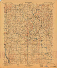
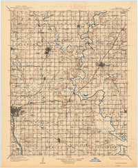
1916 Map of Claremore
USGS Topo · Published 1916About this map
Claremore and the surrounding prairies of northeast Oklahoma are shown here in the years following statehood, as the region's rail network reached its peak. The landscape is defined by the broad valleys of the Verdigris River and the Arkansas River, which are flanked by several distinct landforms like Claremore Mound and Lipe Mound. This era was characterized by a dense grid of rural education, with dozens of one-room schools such as Snarr School, Eureka School, and Mountain View School serving the farming families of Rogers and Tulsa counties.
Find a feature on this map
122 named features on this map. Tap any name to fly to it.
Don’t see what you’re looking for? This feature index may not catch every label — zoom into the map to look around manually.
Map Details
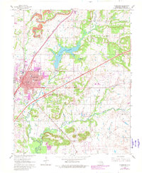
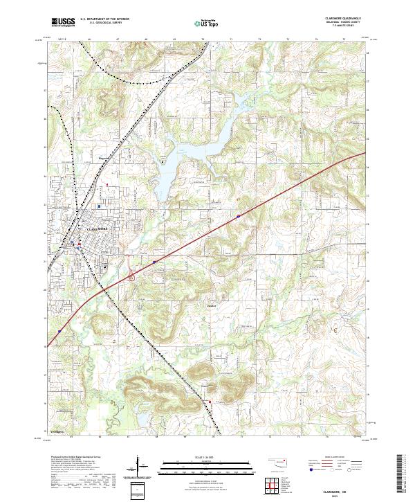
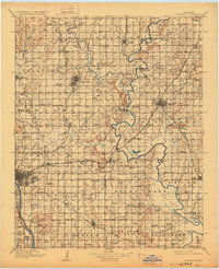
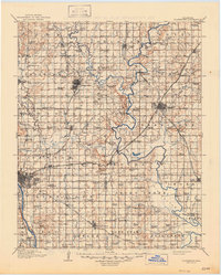
Editions of this 1916 Claremore Map
4 editions found
Historical Maps of Samson Plaza Through Time
5 maps found