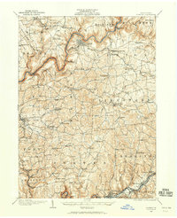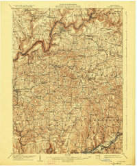
1907 Map of Clarion
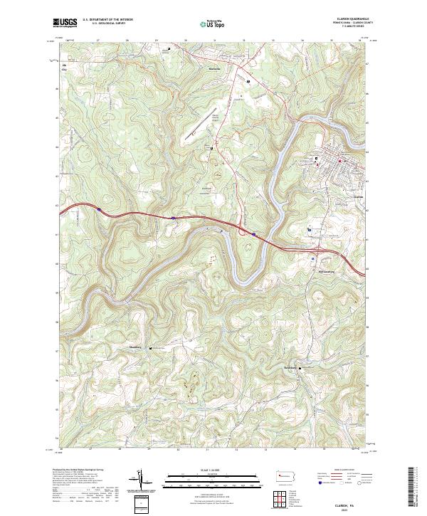
USGS Topo · Published 1927About this map
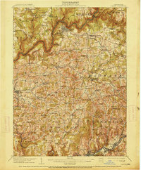
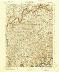
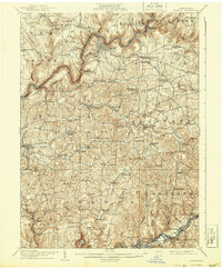
Clarion sits as the central hub of this northern Pennsylvania landscape, where the deeply entrenched Clarion River winds through a series of sharp bends. The region is defined by a dense network of early 20th-century rural infrastructure, including numerous family-named schools like Buckhorn School and Miles School that supported isolated farming and mining communities. The industrial character of the era is evident in the presence of the Pittsburgh Summerville and Clarion RR and the Narrow Gage line, which connected local resources to broader markets.
Find a feature on this map
107 named features on this map. Tap any name to fly to it.
Don’t see what you’re looking for? This feature index may not catch every label — zoom into the map to look around manually.
Map Details
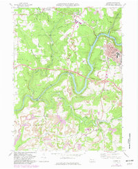
Editions of this 1907 Clarion Map
5 editions found

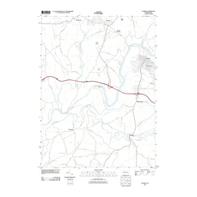
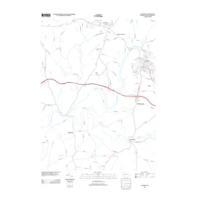
Historical Maps of Clarion Through Time
8 maps found